We did it! We finally finished the Rundumadum hiking trail. And only 😉 two and a half years or so after we went hiking together the last time, as described here. We managed to pick the perfect day for it, too. It was sleeting and windy and, of course, rather icy under foot with all that sleet. But, as we agreed, there is no such thing as bad weather, only inappropriate clothing, so we pulled on our warm and water-repellent things and went out.
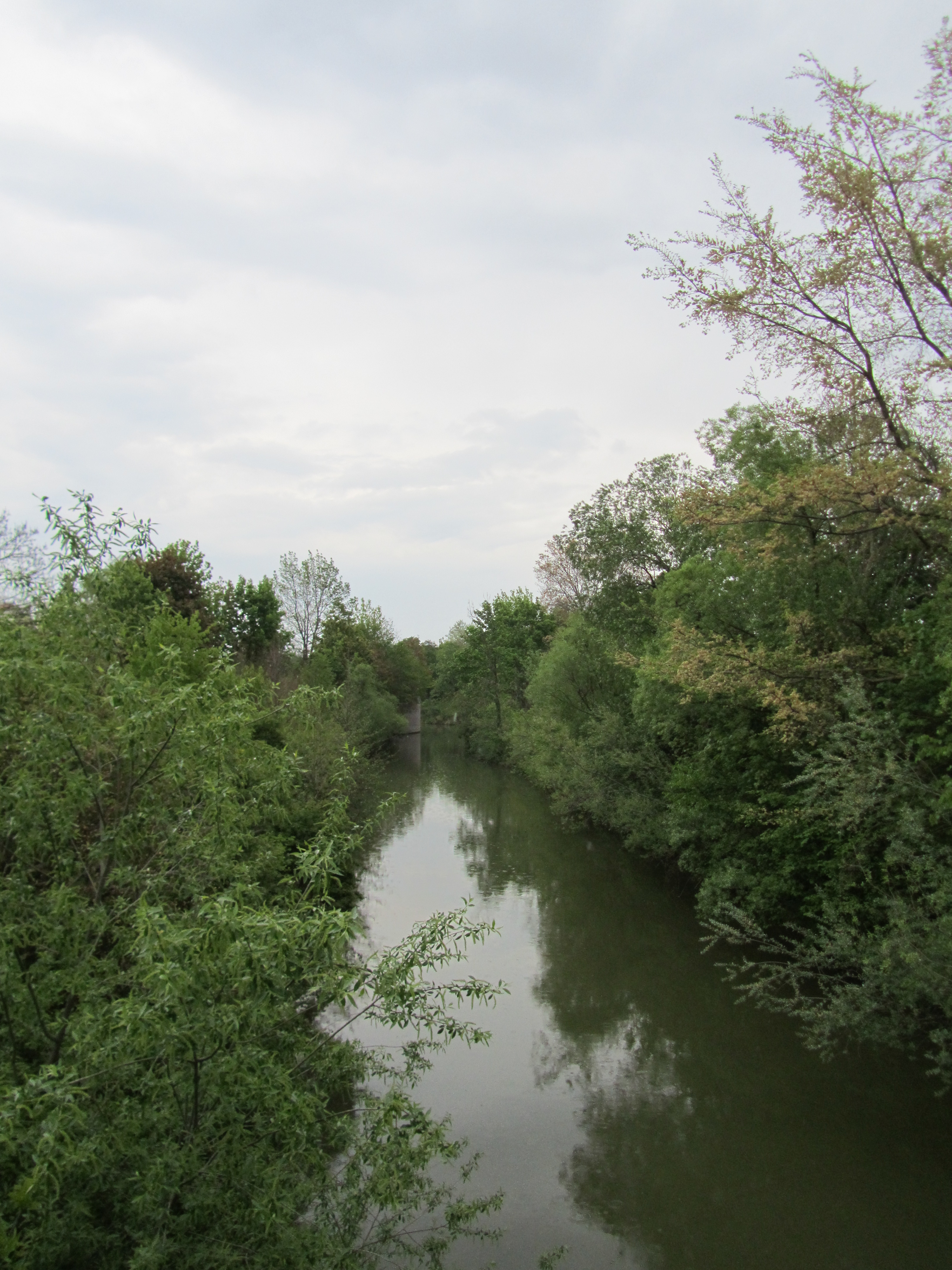
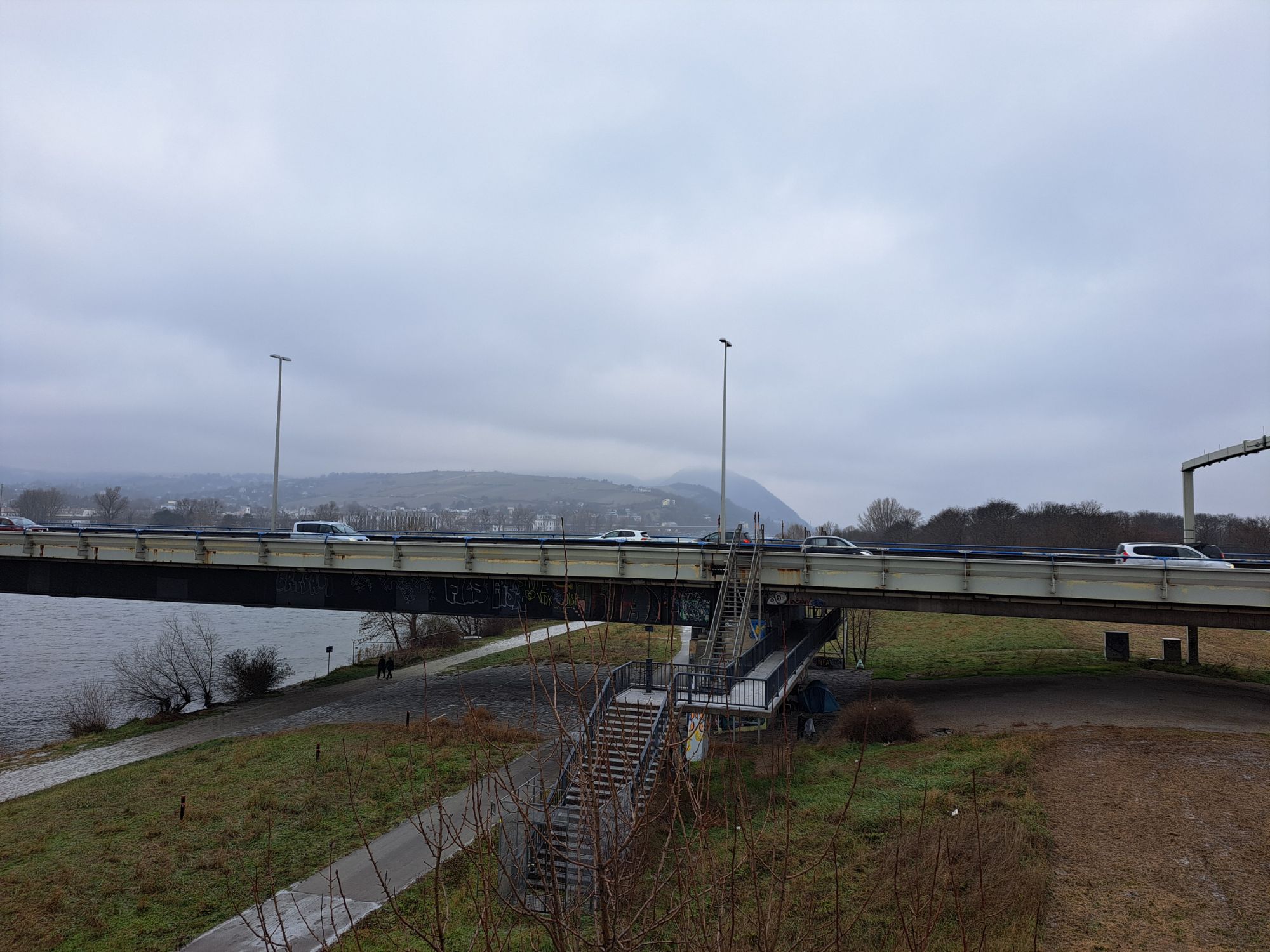
As I mentioned in that post from May 2022, we didn’t manage the whole last stretch in one shot and so just had a couple of kilometers to go this time. We took the 34A bus from Floridsdorf more or less to where we stopped last time and set off from there in the direction of the Danube. Remarkably, given that we had often had trouble with the directions and missing trail signs, we didn’t have to re-trace our steps once. We found the pedestrian overpass that allowed us to cross the Autobahn first try and found ourselves walking along the banks of the Danube where the wind was, if possible, even stronger.
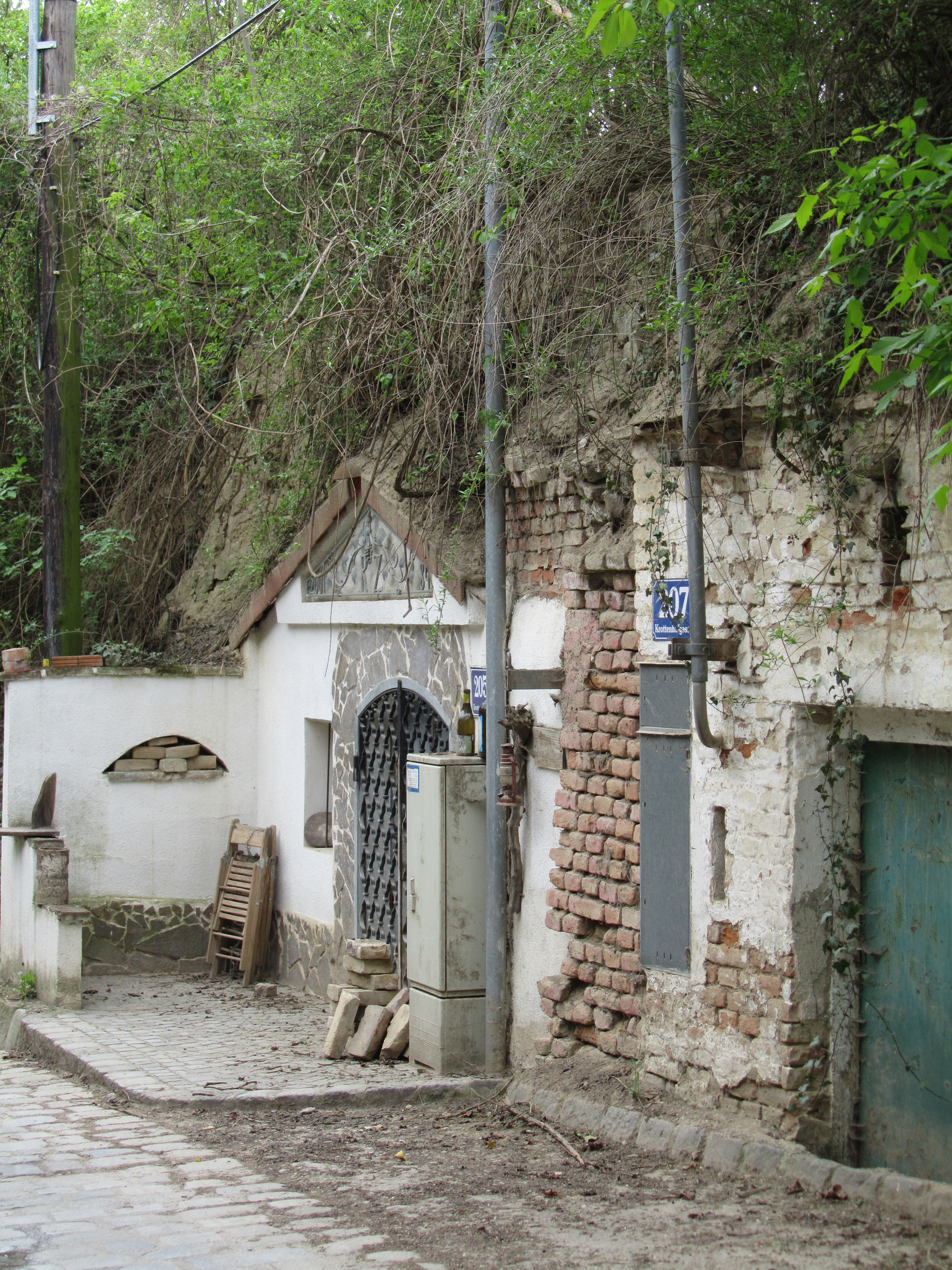
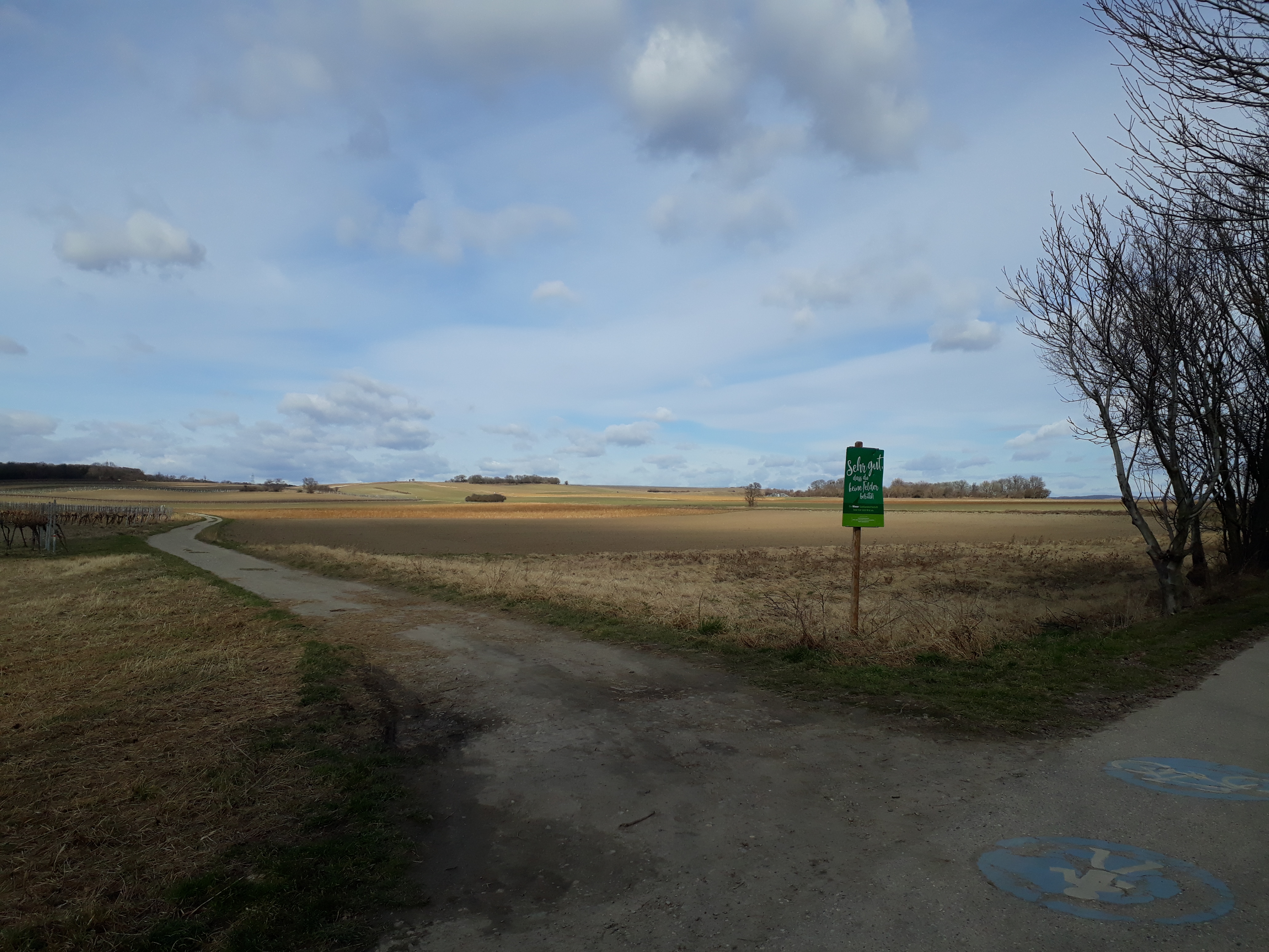
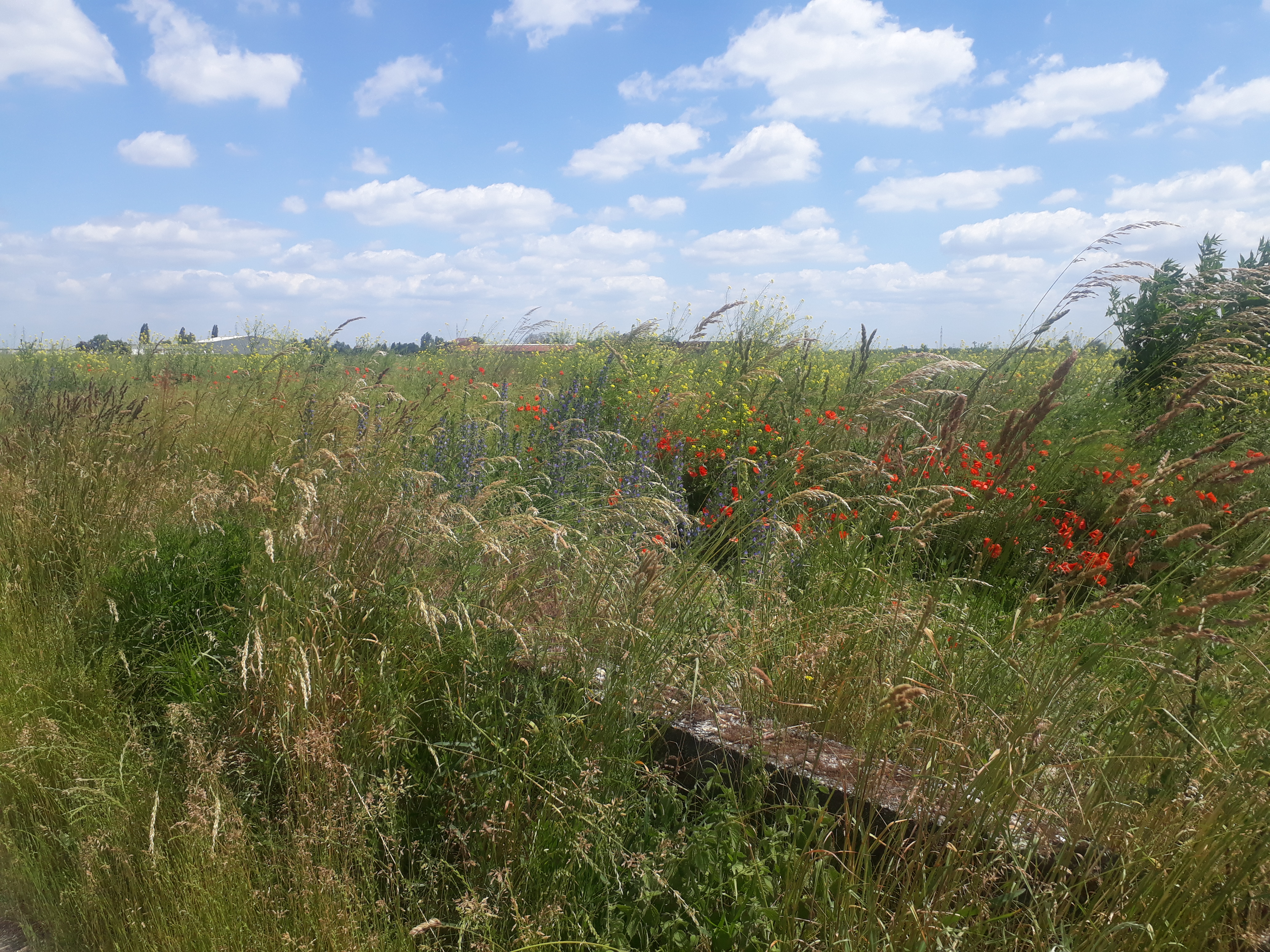
Other than a few hardy dog walkers, some with rather unhappy looking dogs, and a couple of joggers, we were the only ones crazy or driven enough (“We *will* finish it today”) to be out. Oddly enough, I can’t say it was unpleasant. We had enough to talk about, the scenery is always beautiful, and we were about to complete a journey I started alone in November 2018, if my memory serves me correctly. (Here is that first Rundumadum post with some photos of the stretch in friendlier weather.)
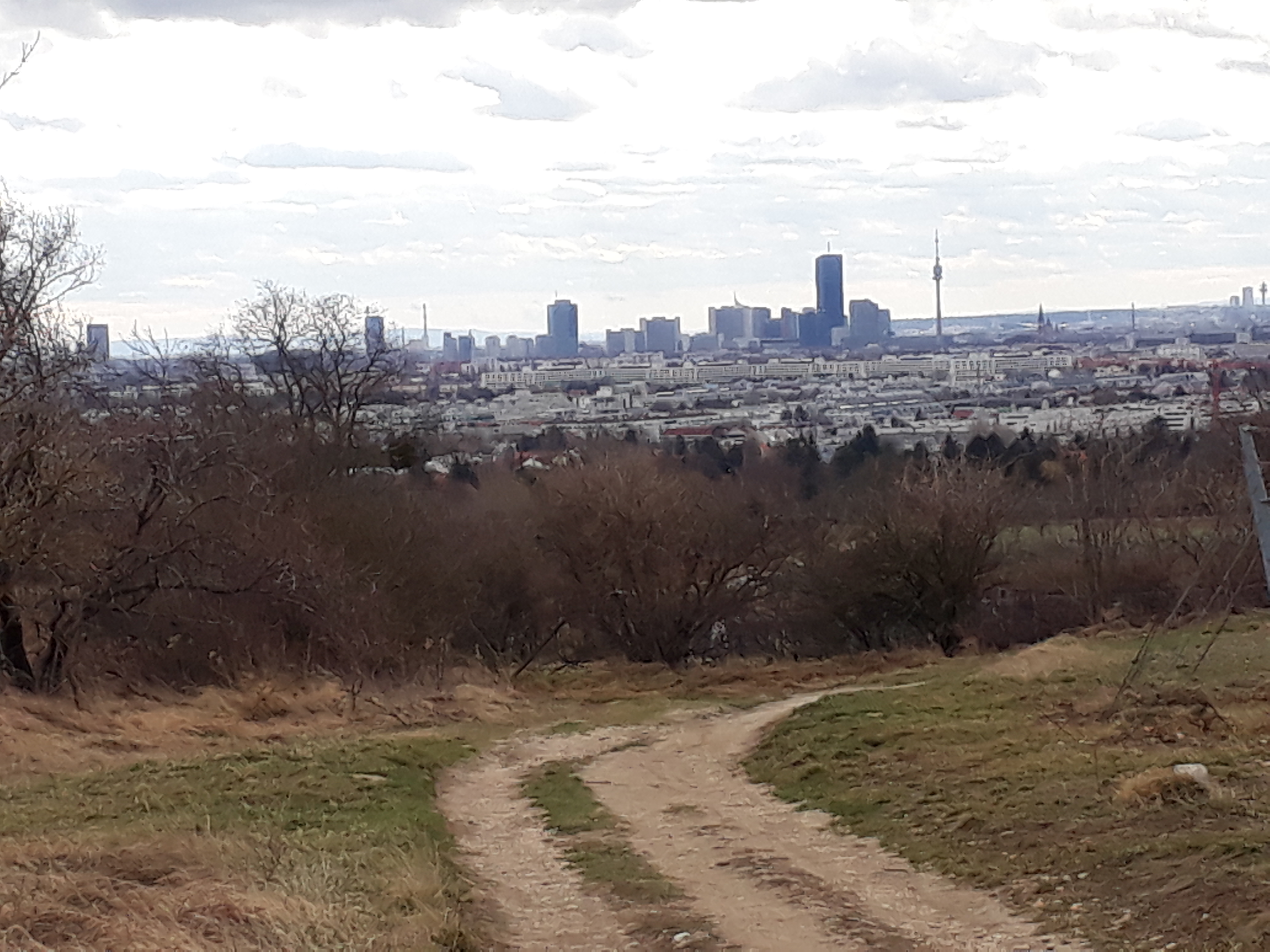
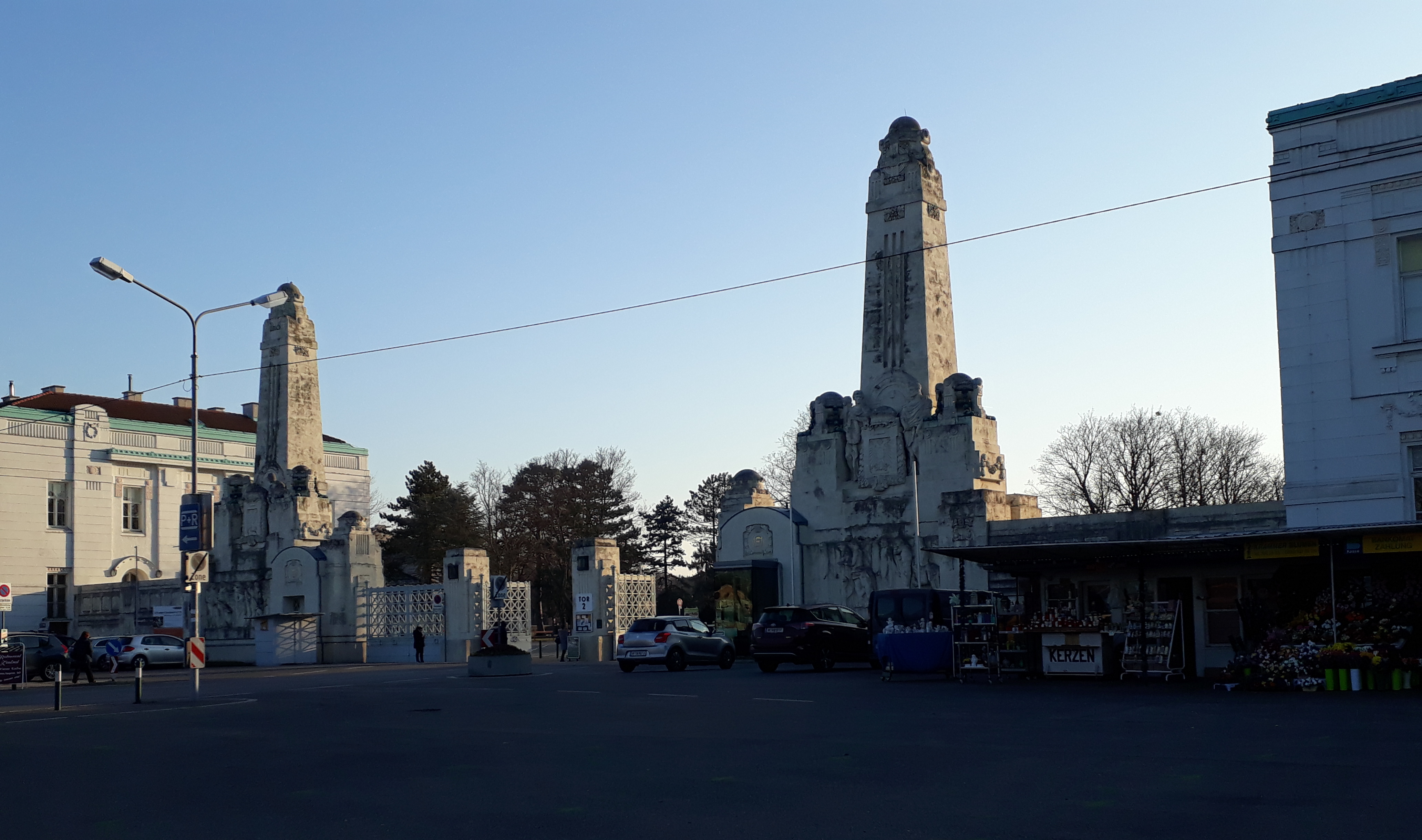
We found the Jedlerseer Brücke (bridge) easily and crossed to the Donauinsel, I remembering the first time I did that, with Maylo, who had to be carried part of the way. (He never did get used to bridges.) Then we transversed the Donauinsel, waved to Nussdorf, where we were headed, on the other side of the Danube, and followed the trail southeast to the next bridge and crossed. We came out quite close to the Heiligenstadt U4 station, and it was a little tempting to just stop there. However, we walked out to Heiligenstädter Straße and walked northwest to Nussdorf, the official end of that trail section. We were rewarded with a combination of some of the most famous “Gemeindebauten” or public housing blocks, including the Karl-Marx-Hof, and some beautiful 19th-century privately owned apartment buildings.
In Nussdorf, we congratulated each other and went back to my hiking partner’s place for some much needed Glühwein and Christmas cookies.
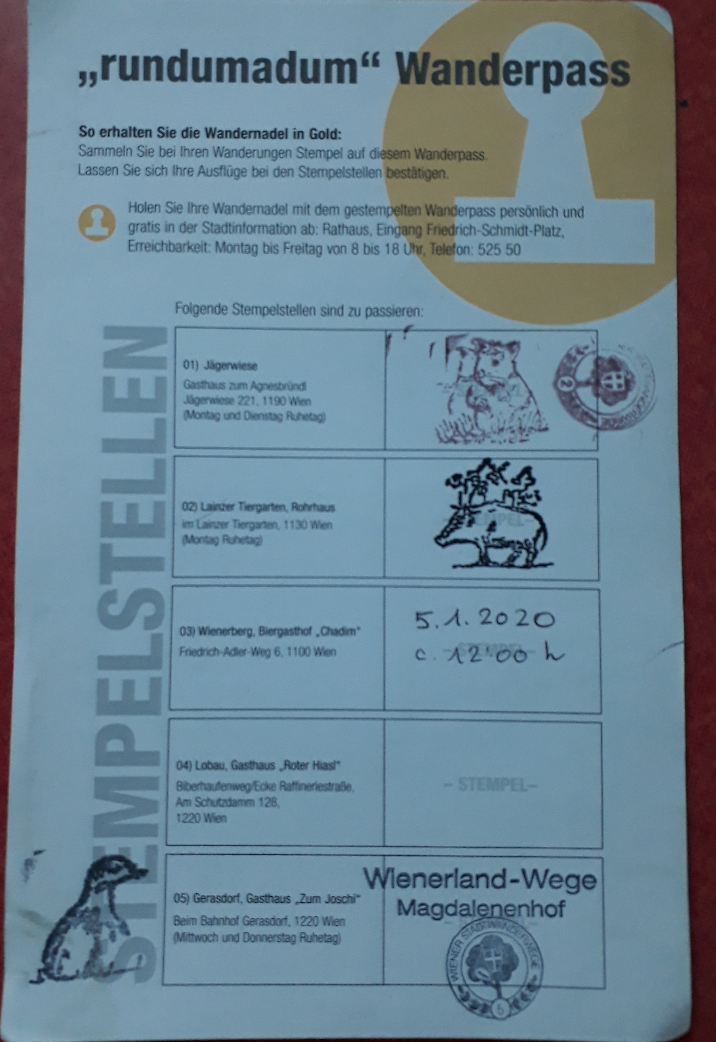
Up next — the city’s 14 “city hiking trails” (“Stadwanderwege”), which include some as short as 4 km and one as long as almost 23 km. (I suspect we won’t be walking that long one in one go!) Most of them seem to be between 10 and 12 km.
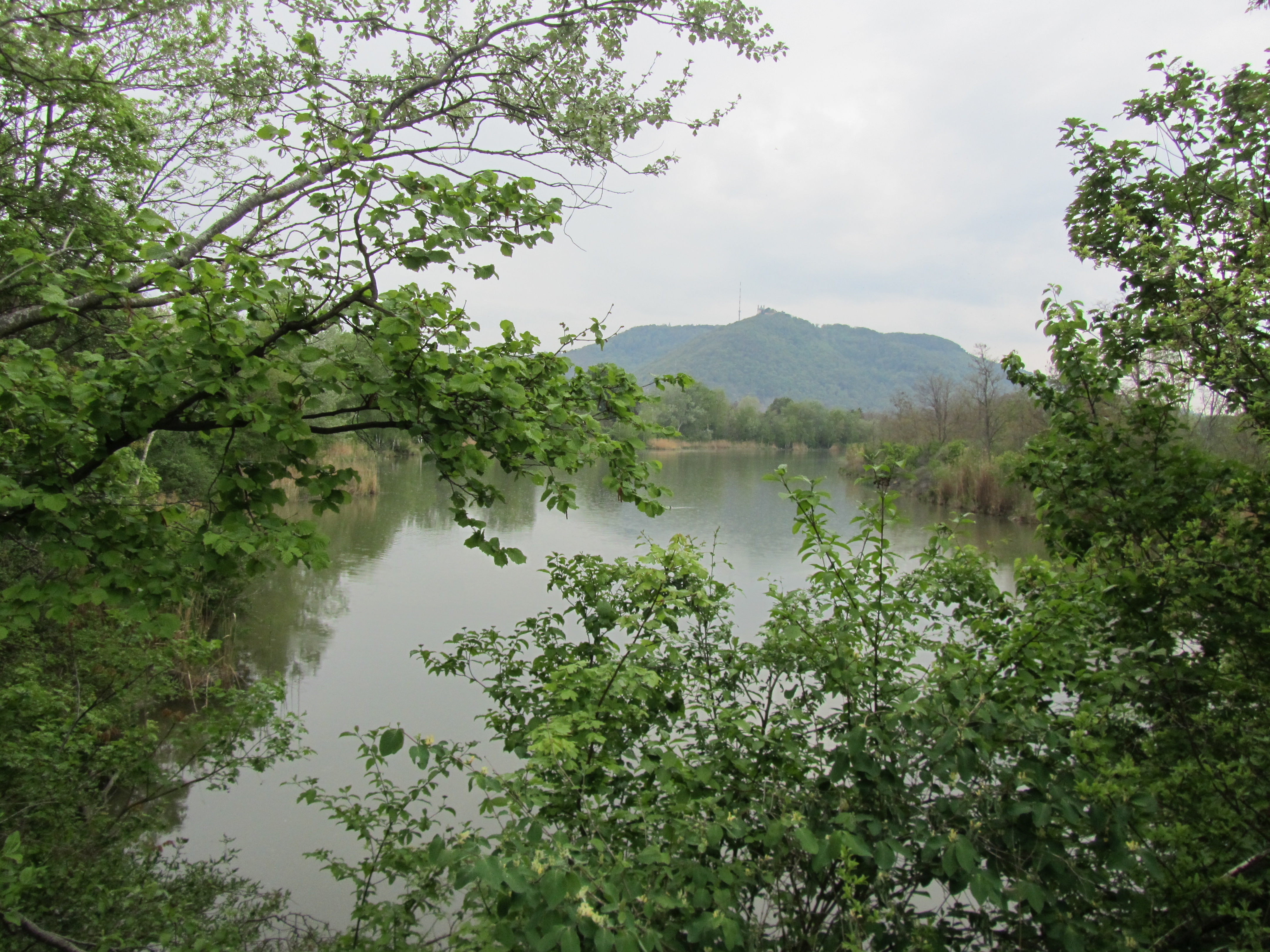
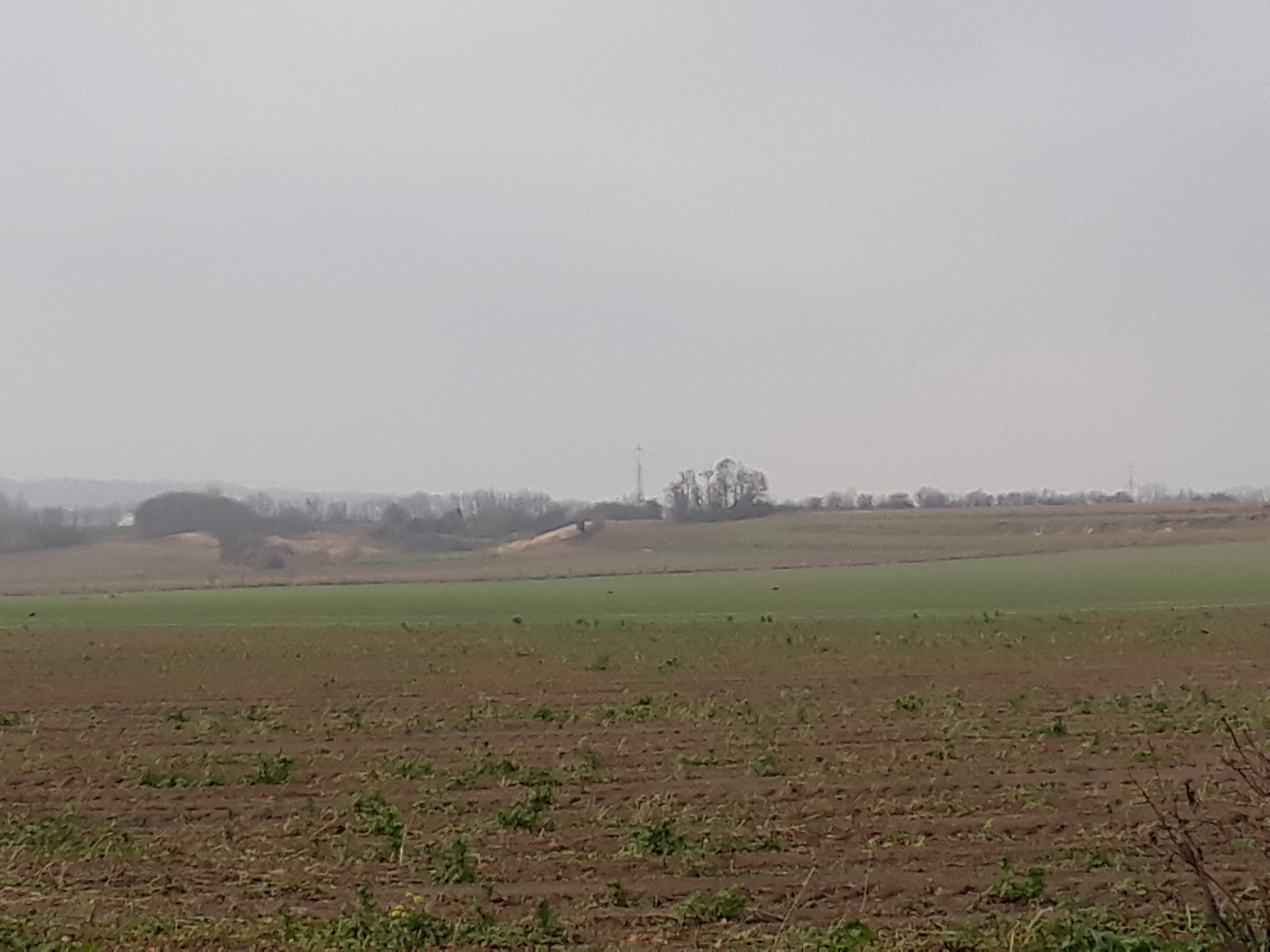
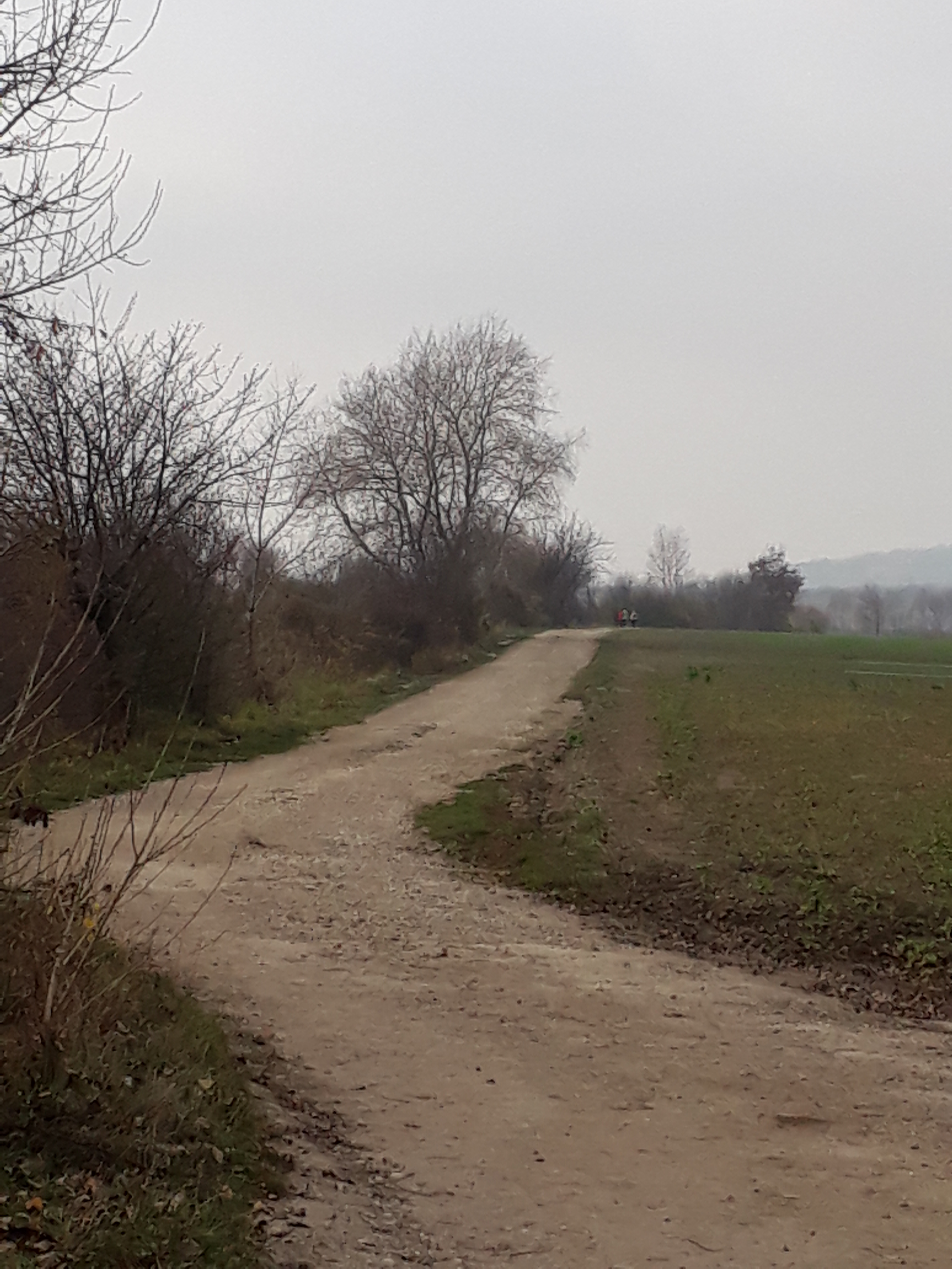
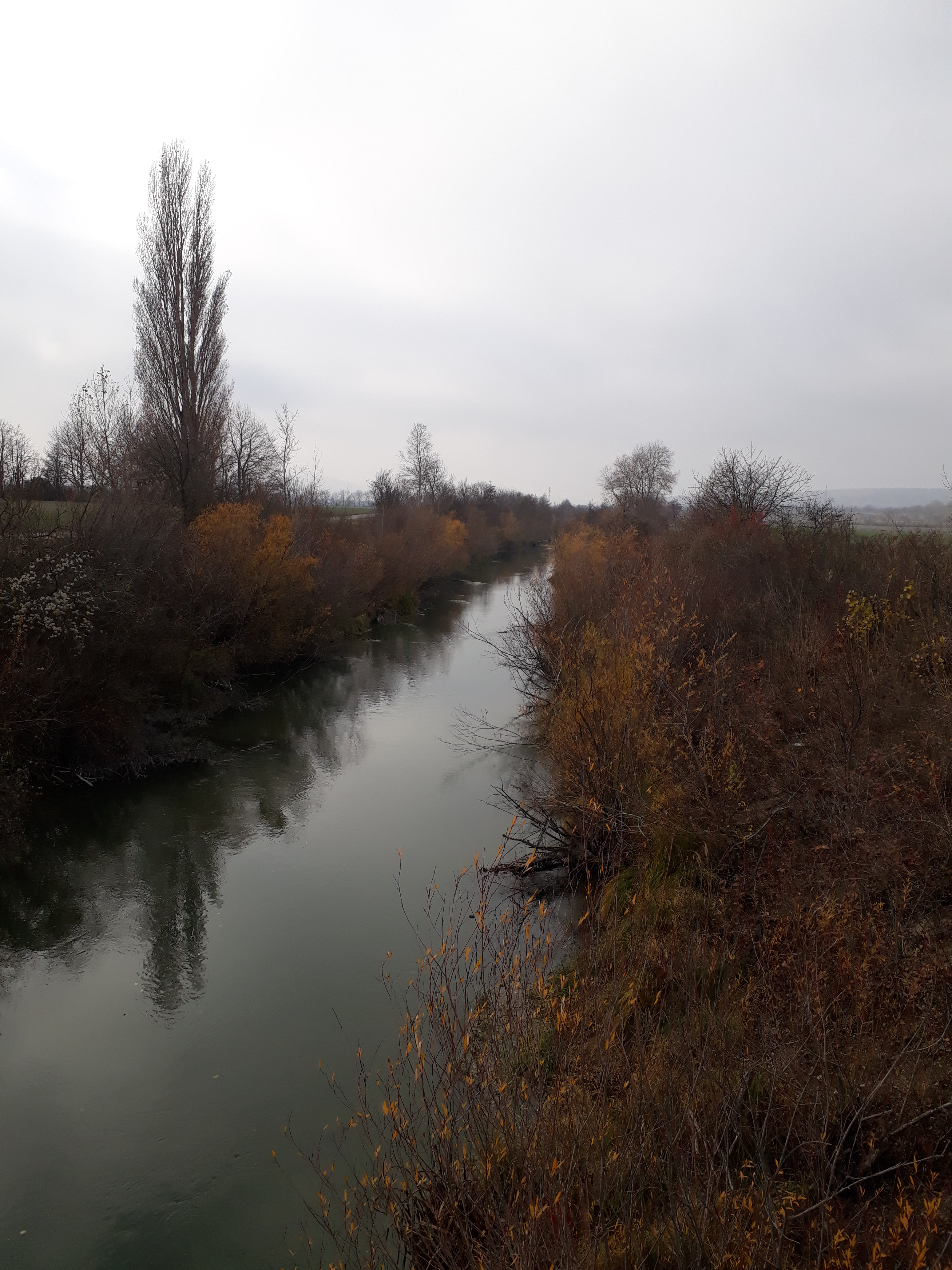
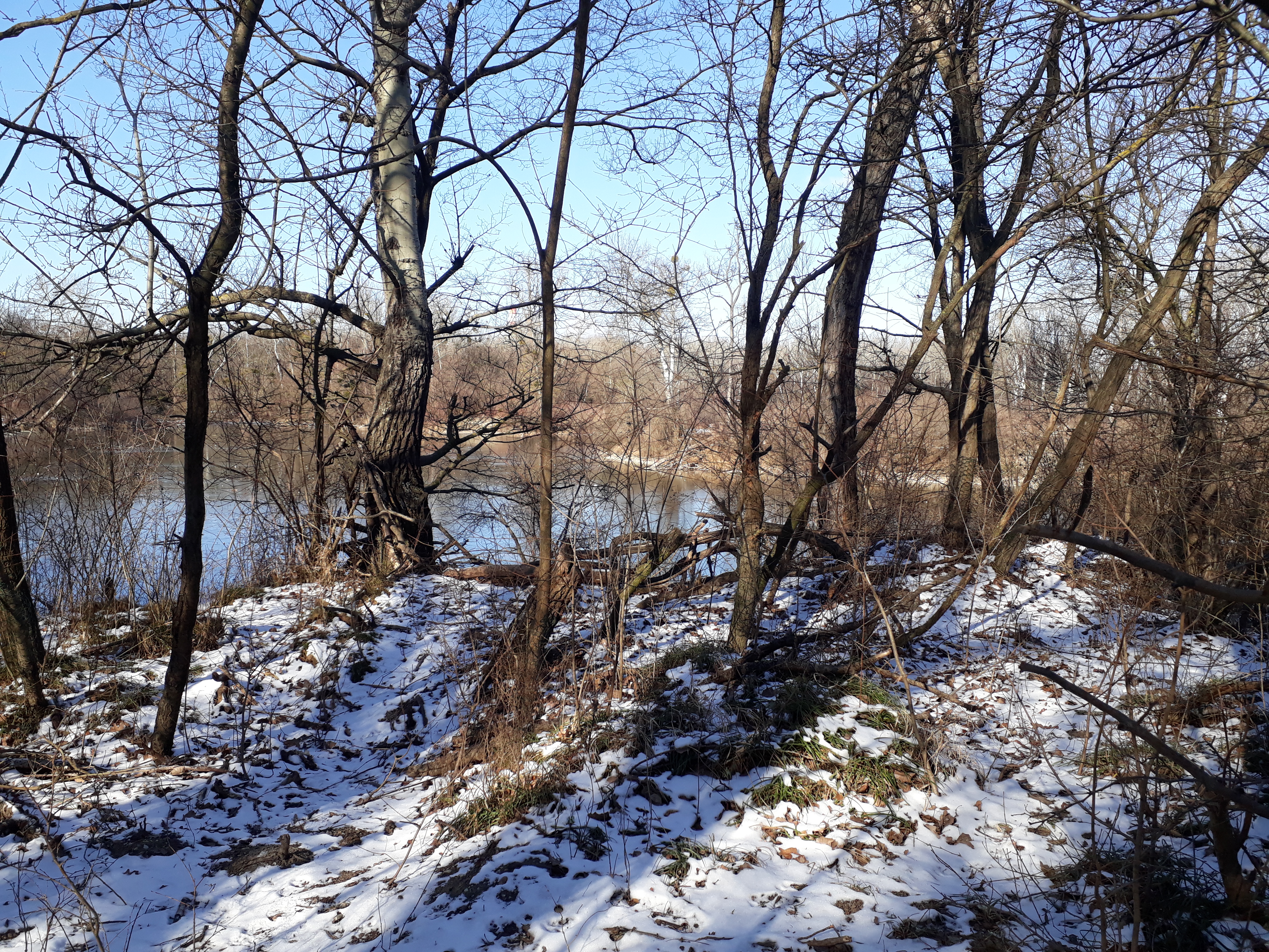
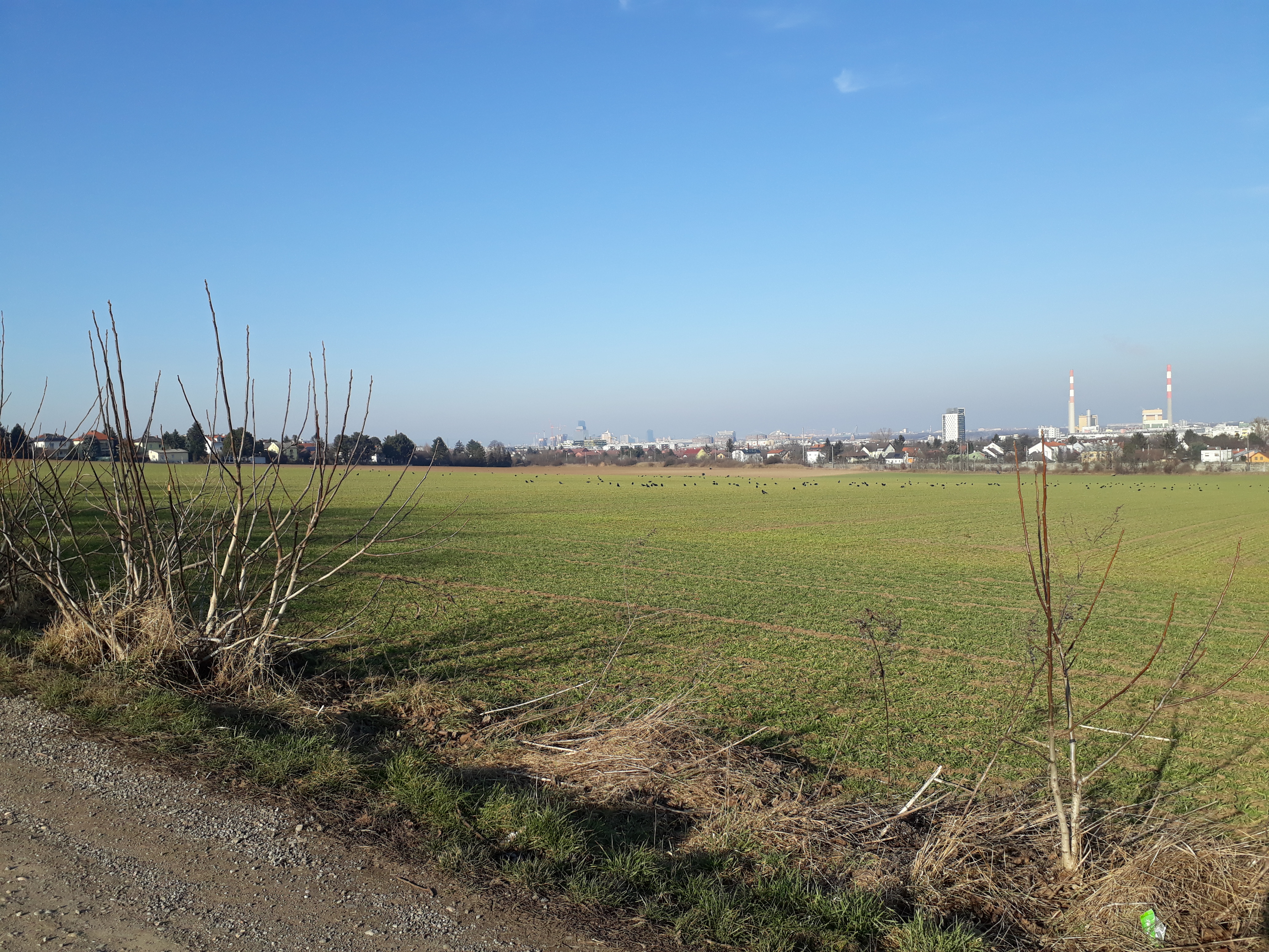
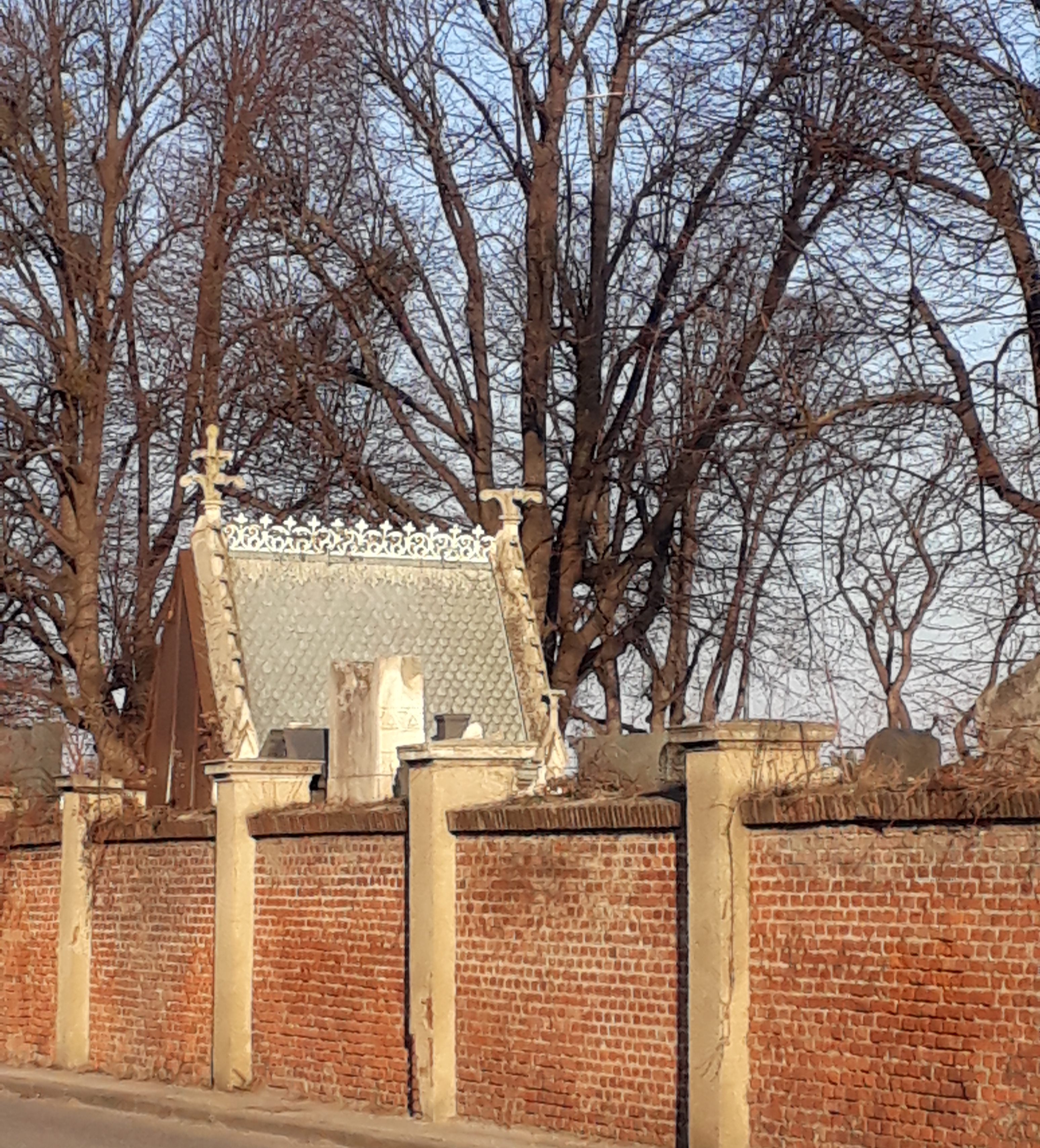
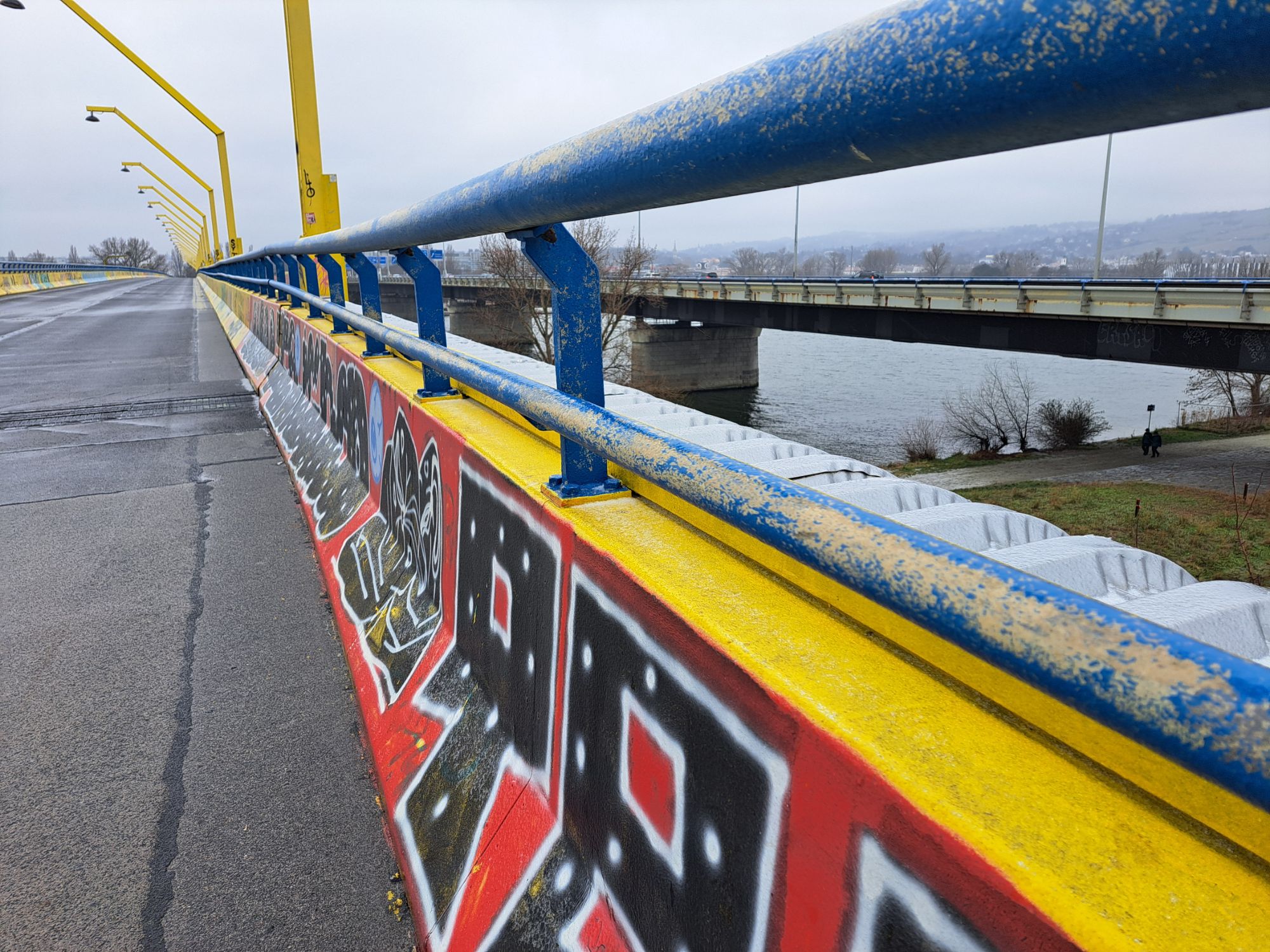
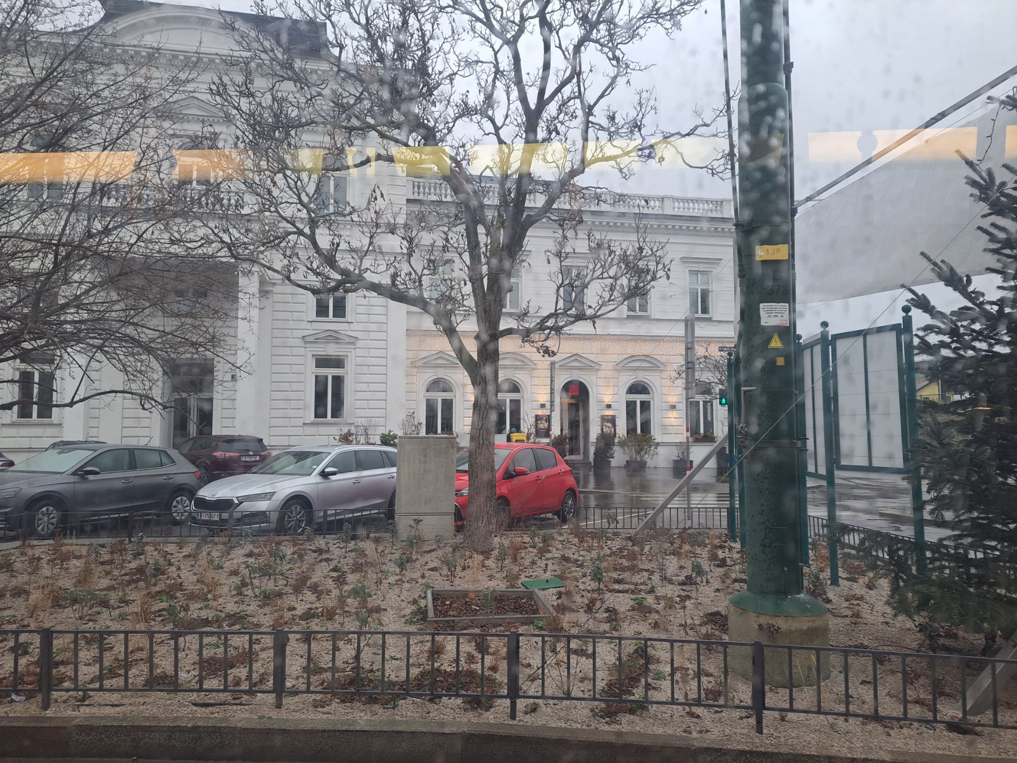
Below are a few photos from today’s walk, mainly to show the sleety, foggy weather. The last one also shows that we did make it all the way to Nussdorf.
Trail number 24
Distance: 7.8 km (of which we did three or four today)
Time (if you do the whole thing): 2 to 2.5 hrs
Link: https://www.wien.gv.at/umwelt/wald/freizeit/wandern/rundumadum/etappe24.html