A week ago, my walking partner and I (and Maylo, of course) walked the 22nd stretch of the Rundumadum trail. It’s amazing to me how the landscape changes. After all, we are circumnavigating only one city.
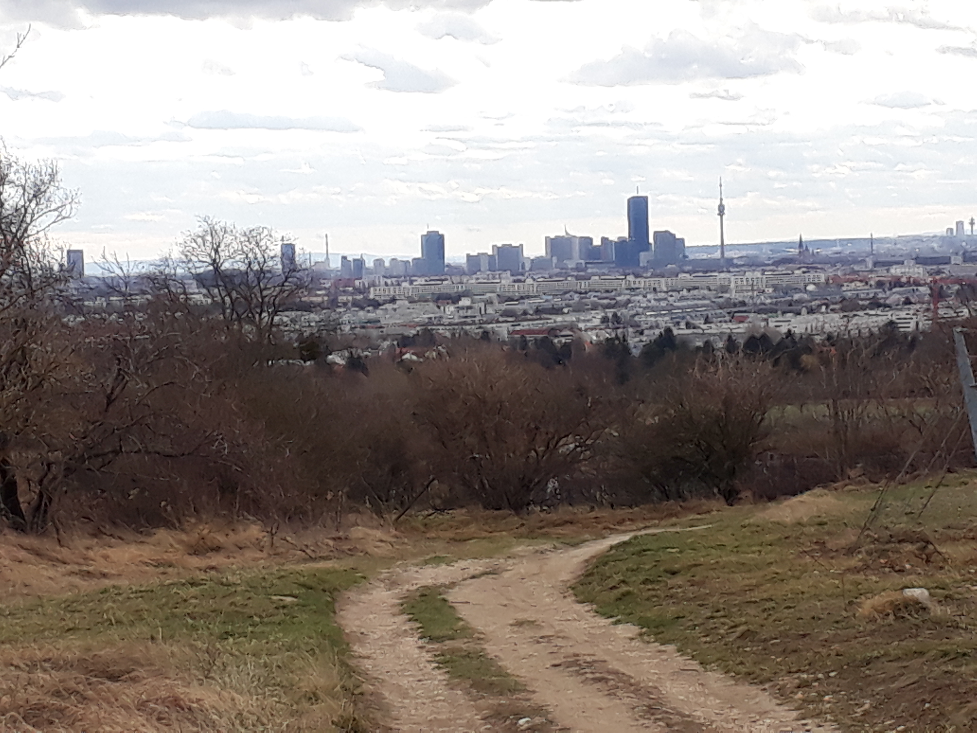
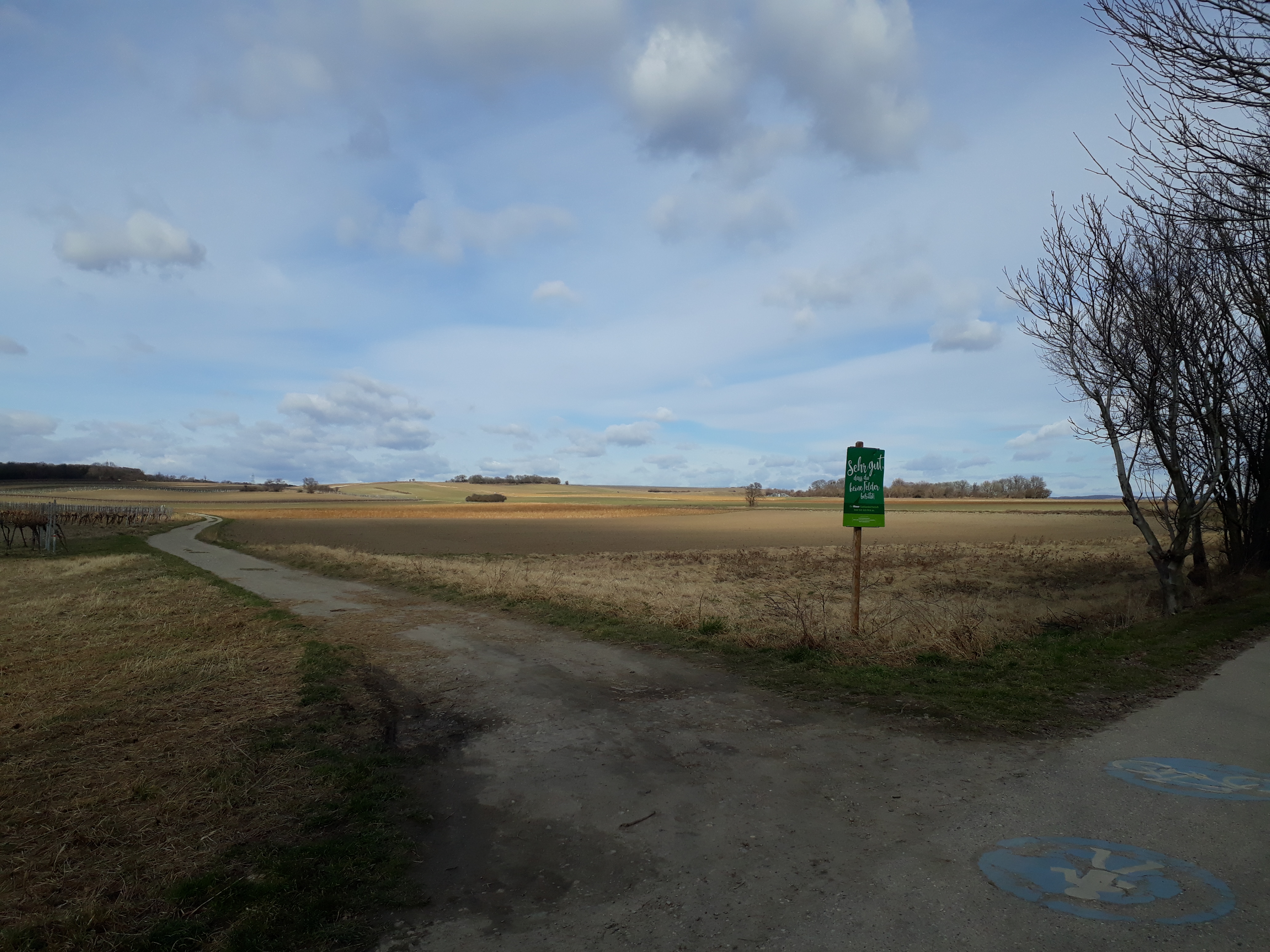
This time we walked through rather bleak vineyards (well, it is still February) and then open fields on the flat, with a view of Vienna on one side and of Lower Austria (not shown) on the other, before climbing up a stretch of Bisamberg and heading back to Hagenbrunn.

I’ve walked this route before but in the other direction when doing the Stadtwanderweg (city hiking trail) number 5 with a friend. In addition, I have pleasant memories of snacks on Bisamberg before Bergheuriger Langer closed its doors forever, a stop once at the Magdalenenhof, and enchanting coppices (or copses).
It was a pleasant, uneventful hike — even the buses ran when they were supposed to. 😉 We only did one stretch, which turned out to be just right. Anyway, I’ll be going back to re-visit the Heurigen (wine taverns) out that way when the weather gets warmer.
Trail number 22
Distance: 6,2 km
Time: 1.5 to 2 hours
Link: https://www.wien.gv.at/umwelt/wald/freizeit/wandern/rundumadum/etappe22.html
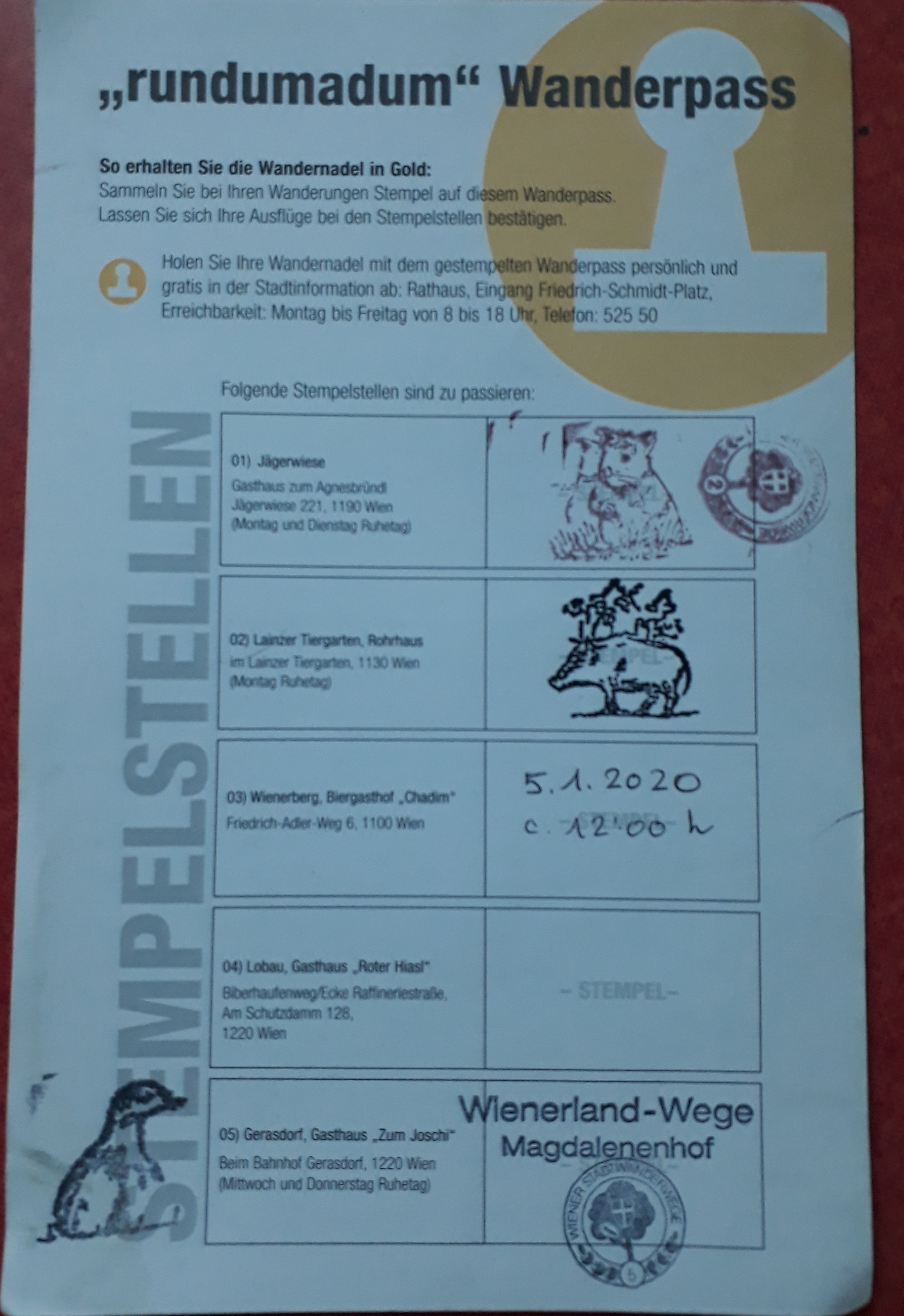

Schön! Und Stempel sogar!
Drei Stempeln sogar! 😉 (I wasn’t sure which one was the right one.)