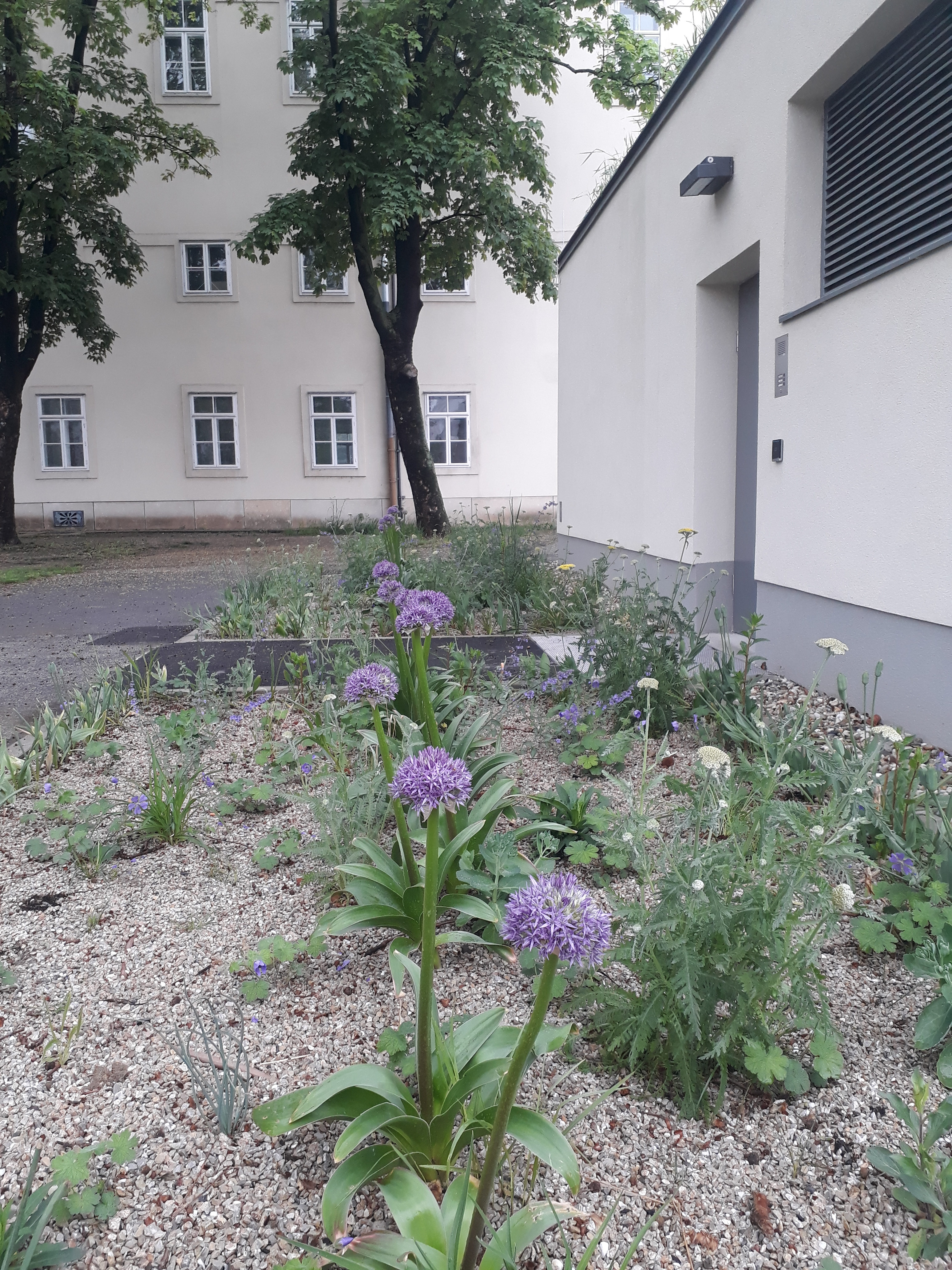
Every year the MA 42 (the “Magistratsabteiling” of the City of Vienna responsible for public parks and gardens) choose certain mixtures of flowers that they plant everywhere. The daffodils and red tulips are gone, but these have come out. I have no idea what they are (I am the kind person who is happy to work in a garden as long as someone else tells me what to do), but they are tall (about a foot and a half) and look like something out of Dr. Seuss, if you ask me. Fun.
We are nearing the end of the Rundumadum. In fact, because I started with the last leg of the trail, I have now come full circle. I do still need to get the stamp from the Roter Hiasl restaurant in the Lobau as they were not open when we passed that way. Then I will be eligible for my City of Vienna hiking pin. 🙂
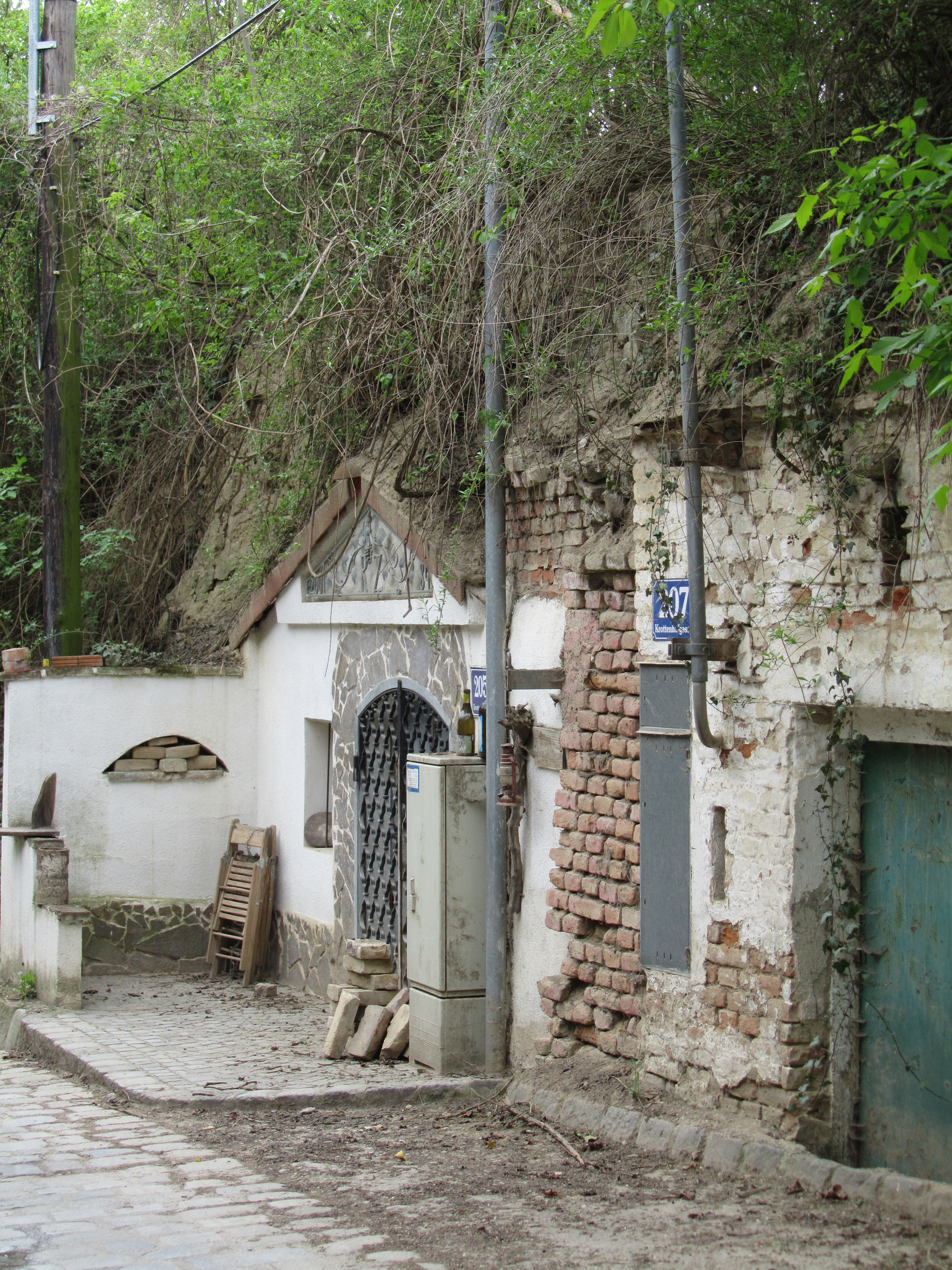
But I am getting ahead of myself, which is a pity because the start of this stretch was so enticing (not just because the bus took us uphill and we only walked downhill ;-)). Here it is, an old “Kellergasse” within the city limits.
An old “Kellergasse” in Vienna’s 21st district
What is a “Kellergasse”? Many will already know that a “Keller” is a “cellar” and, in this case, a wine cellar, and a “Gasse” is a narrow street or alley. They are (or were) common in wine-growing regions and were used to store wine before it was sold. Now, many people are buying them up and converting them into weekend retreats. As they are typically in rather green and agricultural areas, they make good retreats.
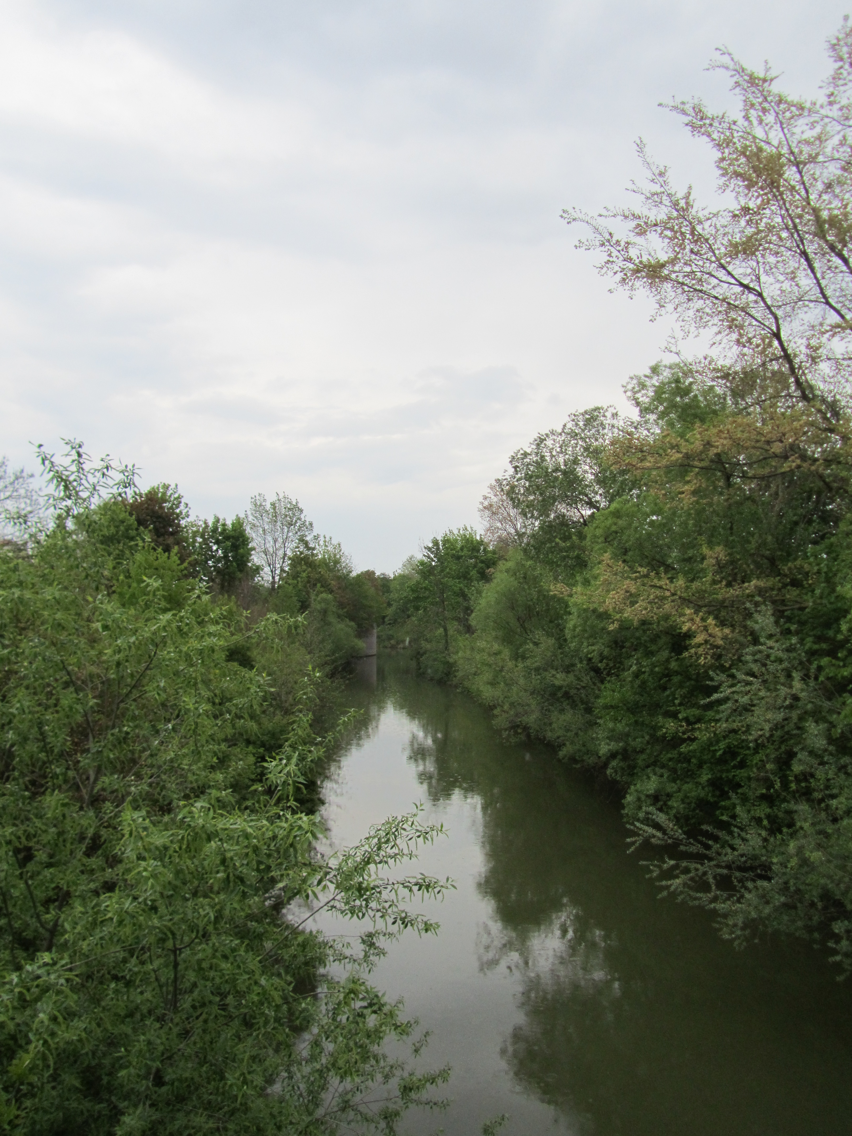
We followed Krottenhofgasse all the way down into Strebersdorf (one of the many villages that were incorporated into Vienna), oohing and aahing over the many flowering shrubs, which were at least two weeks behind what they are in town.
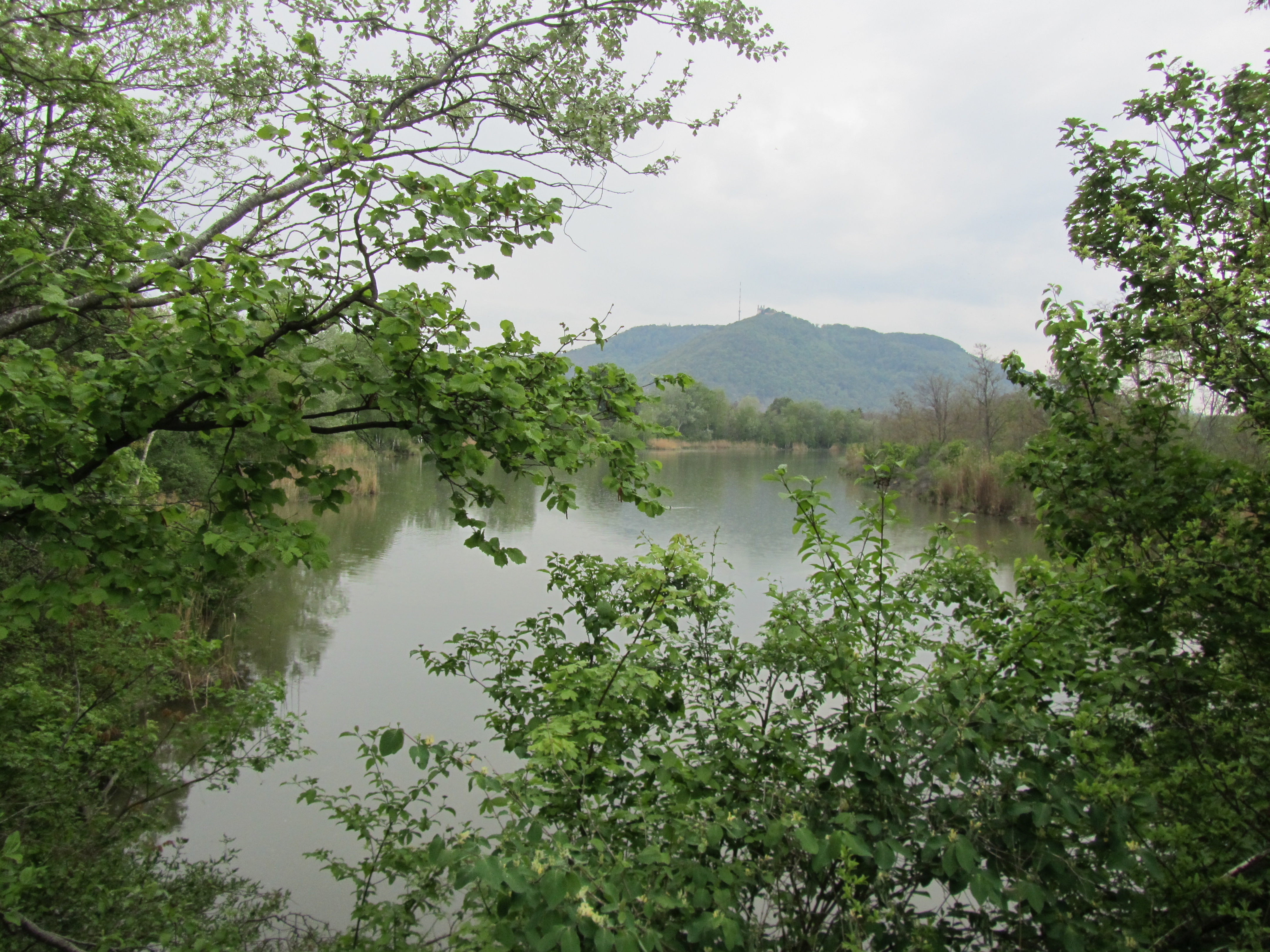
In Strebersdorf, we linked up with the Marchfeld Canal again, part of which we had seen on one of the earlier stretches, and carried on in even as it started to rain, noting the many places you could go down to the water and presumably swim. I couldn’t say I’d be very tempted as the water was pretty murky, but it might be nice to have the option nearby on a hot day.
On the left is a stretch of the canal that had an unidentified round structure on the shore (barely visible on the lefthand side) and on the right is a view still of the canal, although it looks like a lake or pond, with a glimpse of the church at the top of Leopoldsberg on the other side of the Danube (not visible). You can see from the photos that the weather was not bright, to employ a bit of understatement.
As has happened before, we at some point lost track of the Rundumadum signs and had to find our own way. We navigated, rather unusually, by checking out the bus route and managed to find our way to the 34A, which took us back to Floridsdorf. And just in time. By the time the bus pulled into Franz-Jonas-Platz in front of the U6 station at Floridsdorf it was coming down pretty heavily.