Tag Archives: walking

Alice in Wonderland?

10 May

In the last 24 hours I have seen two of these actually well-executed white rabbits. I know we usually go in for Kafka more, but how can one not suspect someone is implying that the times we live in, even in Vienna, are like Alice in Wonderland?

What do my readers think?

Advertisement

09 – Alterlaa to Wienerberg

5 Jan

(We walked this on 5 January 2020. I’m only now getting around to fleshing out my notes on it and posting.)

I was going to write the title of this post with a question mark, but by the end I figured we had come close enough to walking the right route that I didn’t need to.

Attentive readers will notice that there is no blog post (yet) for the 8th stretch of the Rundumadum trail. I’m saving that one to walk with my friend B.

The first thing I noticed–and probably Maylo, too–was how cold it was when we got off the U6 at Alterlaa to start Trail Nr. 9. It was especially the wind that went right through us. I almost turned around and got us back on the underground. Then I reminded myself that I am from New England and made of sterner stuff. 😉 Nonetheless, I felt compelled to take a photo of these ducks along the Liesing River. They were huddled into themselves and their feathers were all puffed up. I realized I wasn’t the only one feeling the cold.

It is very interesting for me to get into this part of the Rundumadum trail because I am now on new territory. Everything up until now I have hiked in one form or another, and I also know the public transportation for those earlier bits fairly well. As far as this new stretch goes, I have been to Wienerberg before, but I approached it from a different direction and so felt somewhat lost from the beginning. (It didn’t help that so much time has gone between this hike and the one before it that I forgot to look for the Rundumadum signs! I was relying heavily on the very general map and directions the City of Vienna provides and that was not easy.)

As instructed, we went along with the Liesing River on our left (ducks!) and the Steinsee, a manmade lake, on our right–that much was pretty clear. After the Steinsee, we crossed a big street with no visible street sign and kept going with the Liesing on our right. We came to a bridge with no clear idea (did I mention that the directions were very general?) whether we should cross. We decided (well, actually, I decided–poor Maylo has no say in any of this) to stay on our side, thinking that there would have been a sign if we should cross over.

After 7 minutes or so, we came to landscape that is representative of this part of Vienna–an enormous flyover (overpass) in the middle of what tries otherwise to be a green and natural part of the city. The noise from the cars is not too bad because sound barriers were put up, but there’s no hiding the fact that thousands of cars an hour are driving through this part of Vienna. It does take some of the charm away …

Given the fact that there was no way through (there were railway tracks on the ground and they were fenced off), we had to turn back and try the bridge after all. After about half an hour of uncertainty whether we were on the right path there came deliverance. We were very relieved to see this sign.

From then on it was somewhat easier, but by then I had lost some of my spirit of adventure. (Did I mention that it was cold and I had no idea where we were going? I also was starting to feel sorry for Maylo, who was being very game but not obviously enjoying our walk. He does seem to prefer walks on which I know where we’re going. Probably this has something to do with my being–at least when it suits him–the alpha dog. ;-))

At some point, I realized that we had overshot the end of this stretch and started the next. I wasn’t thrilled that this was because the map I downloaded from the internet (link below) right before leaving home was still orienting itself around the number 67 tram, which no longer exists. Warning: That route is now served by the number 11 tram. We did a good bit of the beginning of the next stretch and then gave up, turned around, and went home.

Not all bad–I’m happy to get to know another part of Vienna and test my navigation skills–but not the most fun we’ve had on this journey. I certainly failed at being curious, which really is something of a failure as three years ago I took a year to train my curiosity skills (and, of course, blogged about it) : ayearoflivingcuriously.wordpress.com

I will endeavor to do better–i.e., enjoy the whole process more–the next time!

Distance: 4.1 km (we probably did almost 3 km extra)
Time: 1 – 1 1/2 hours
Route: https://www.wien.gv.at/umwelt/wald/freizeit/wandern/rundumadum/etappe9.html

06 – Bahnhof HĂŒtteldorf to Lainzer Tor

2 Dec

Well, I didn’t get the stamp in my Wanderpass today, even though it is Rundumadum stretch with a Stempelstelle but for that I was flooded with memories and had a really nice walk through the snow, too.

What happened is this: I set off relatively early this morning (for a Sunday) so that I could be back in time to clean up for a First Sunday in Advent celebration with friends. I went without Maylo because this stretch of the trail goes through the Lainzer Tiergarten, where dogs are not allowed. (I’m not sure Empress Elisabeth would approve of that—she loved dogs—but it is the case nonetheless.)
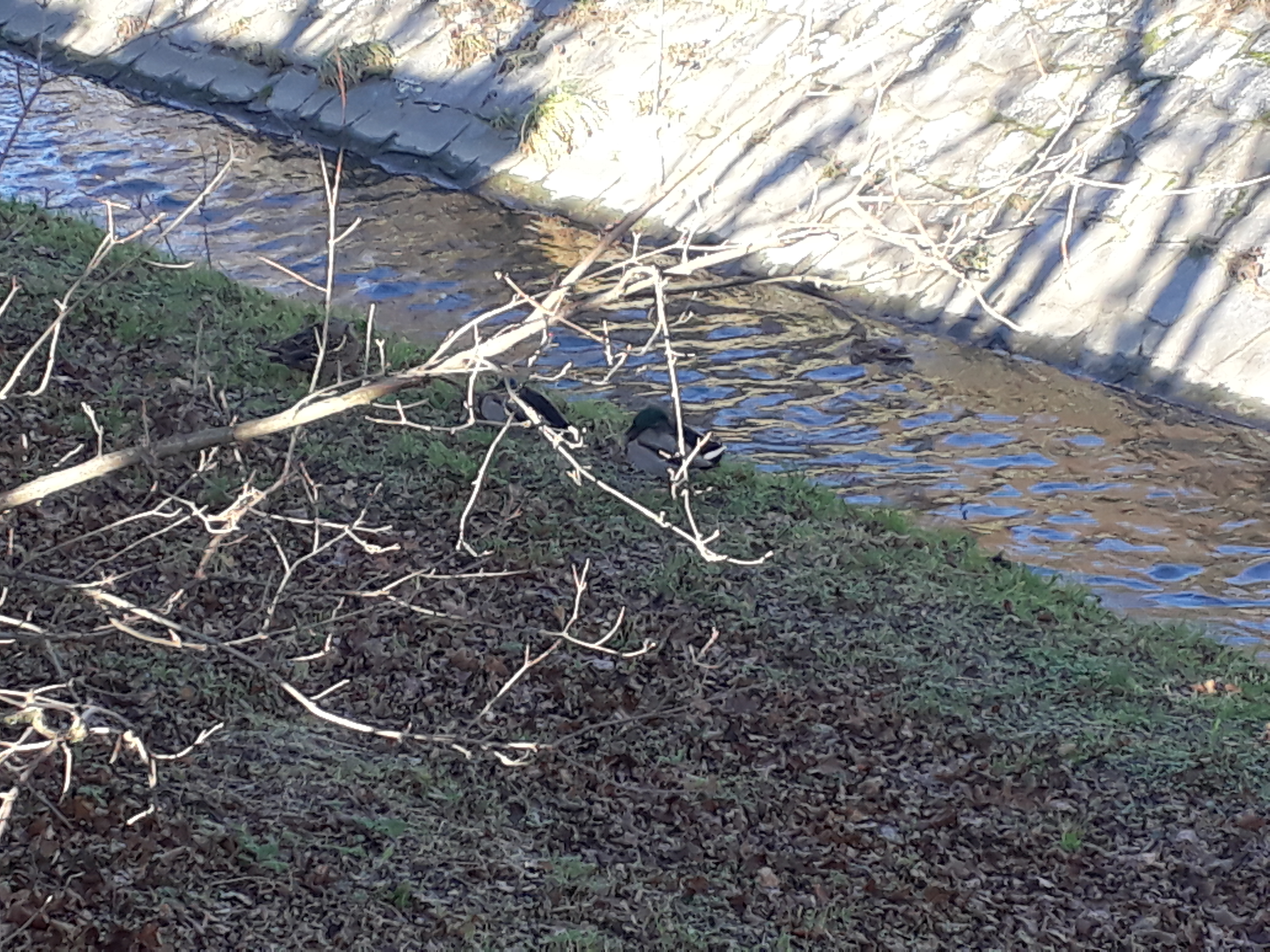
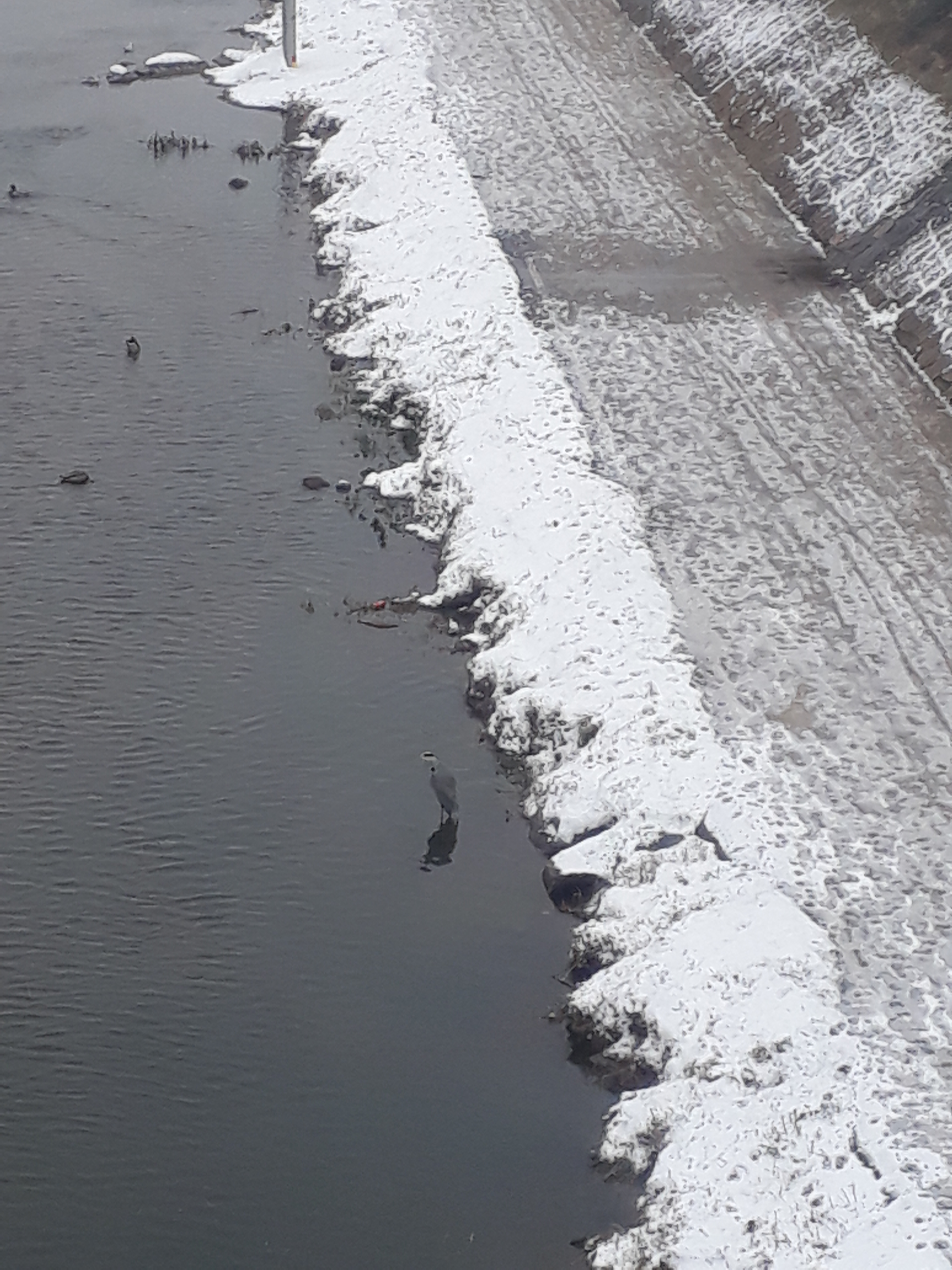
As I left the HĂŒtteldorf station and crossed the bridge over the Wien Fluss (Vienna River) I saw a heron landing on the water among the ducks. While it’s not quite in the middle of Vienna, it’s still within the city limits. That made the trip worth it right there.

20181202_102437.jpg

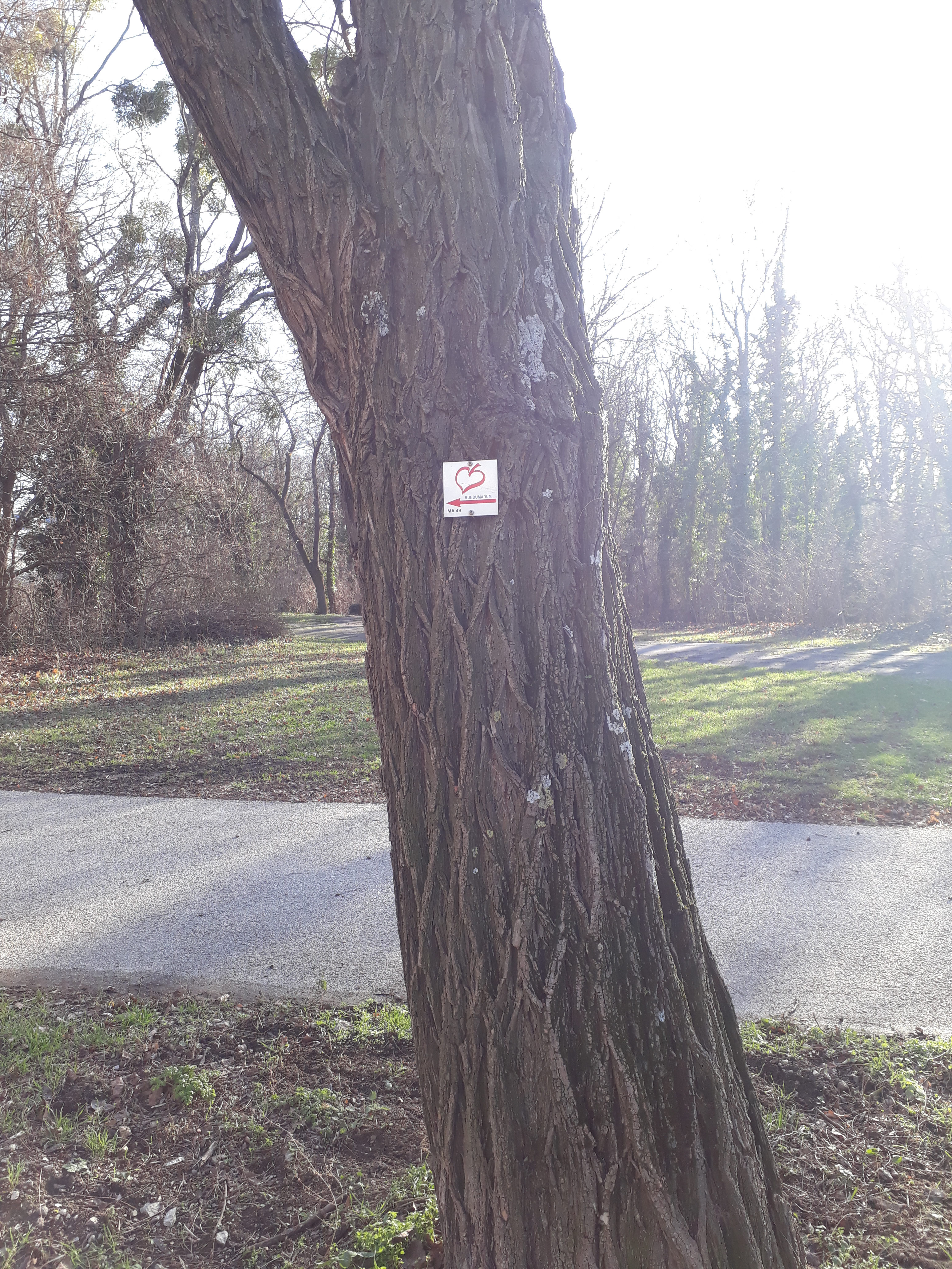
I got to the Nikolaitor (St. Nicholas Gate), no thanks to the Rundumadum signs. I saw only one near the beginning. Luckily, I know the neighborhood. Not that it did me any good. As I drew nearer the gate, something stirred in me and I seemed to remember that you cannot get into this part of the Tiergarten between November and March. Sure enough, when I arrived I saw the sign with opening times:

20181202_103547.jpg

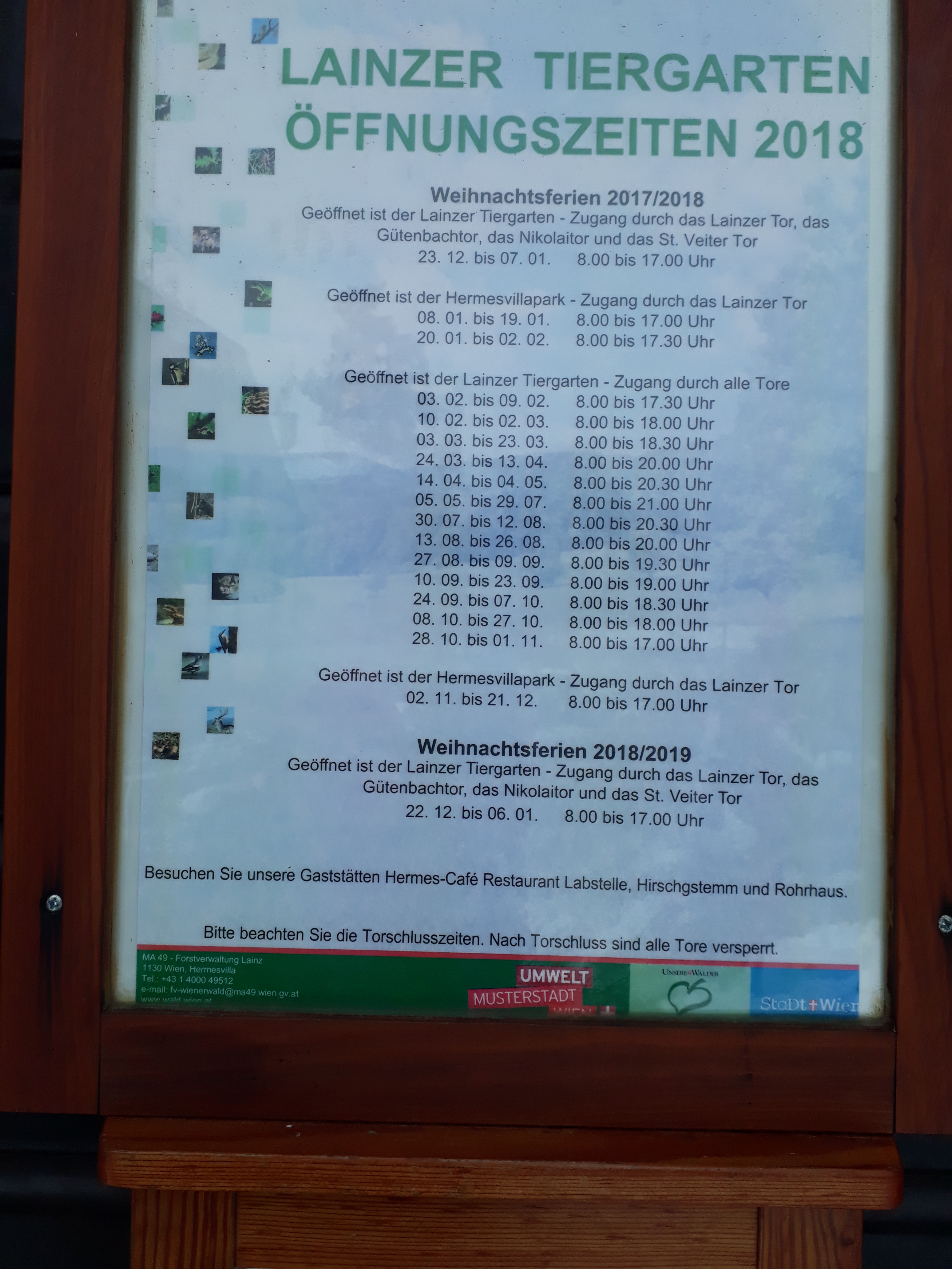
Some day when I have a moment, I’ll have to work out when I can actually go and get the stamp. This was too complicated for me today!

As I was trying to decide what to do—I really wanted a proper walk this morning—a woman all alone in a monster black Mercedes SUV stopped and asked if the gate was locked. I told her it was and she decided to go to Grinzing for her walk. She was nice enough to invite me along but I declined (“Never get into cars with strangers”), and I thought about the amount of gas she was going to use to get to Grinzing in northwest Vienna from where we were more in the south, where there were still plenty of beautiful places to walk, and marveled at the essential cluelessness of some people.

I considered getting on the S45 (commuter rail) at HĂŒtteldorf and traveling that direction myself, and then I thought how this was a real chance to re-visit a part of Vienna I used to come to regularly and stopped coming to when I got Maylo (since he’s not allowed to go in). I remembered that you don’t have to walk through, you can also walk around the Lainzer Tiergarten, and that is what I decided to do. I hadn’t done it since my very first time when I ended up doing it by default because I managed to find the Tiergarten but couldn’t find a gate. (A lot of my discoveries in Vienna have been hit or miss.)

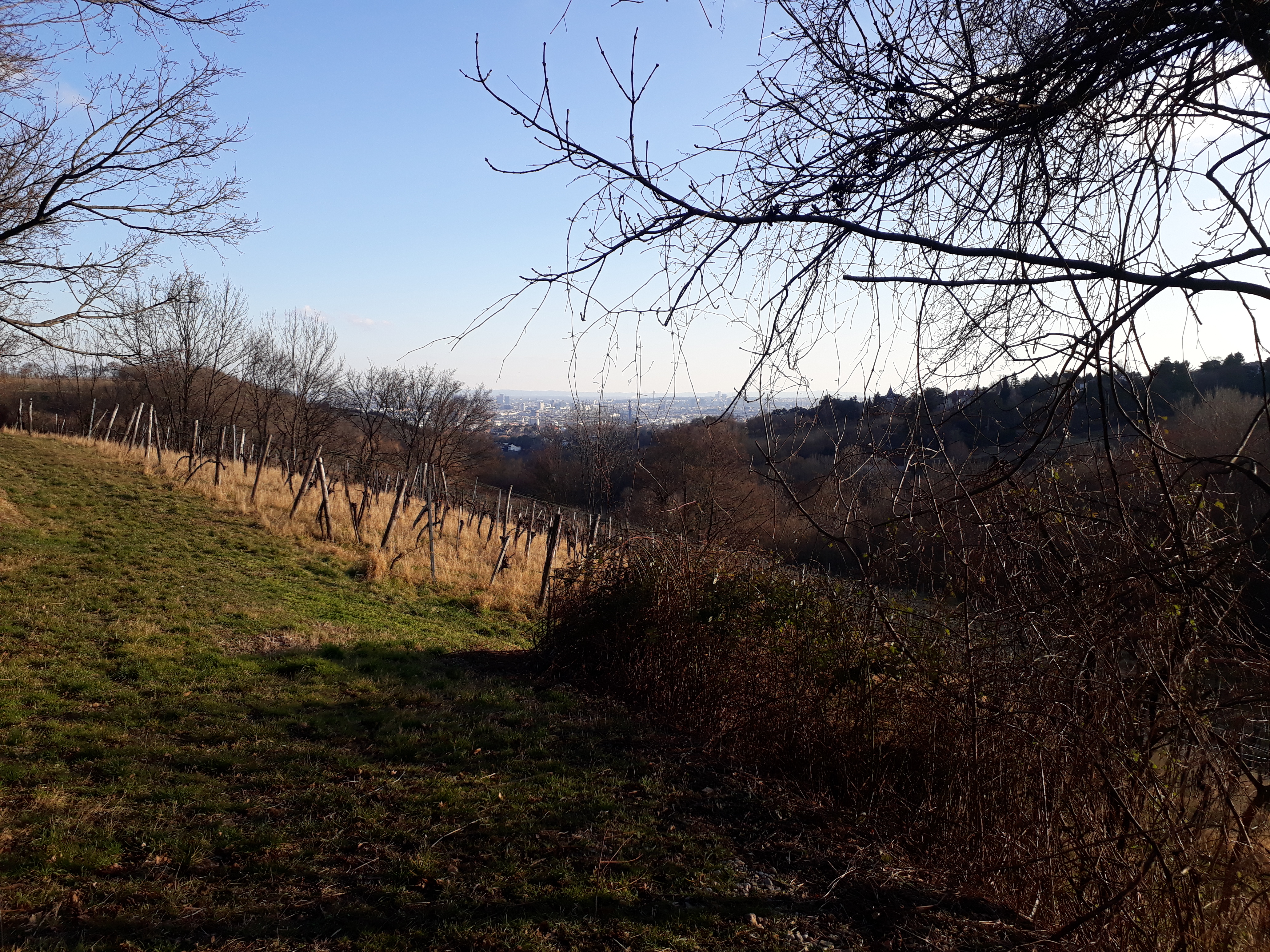
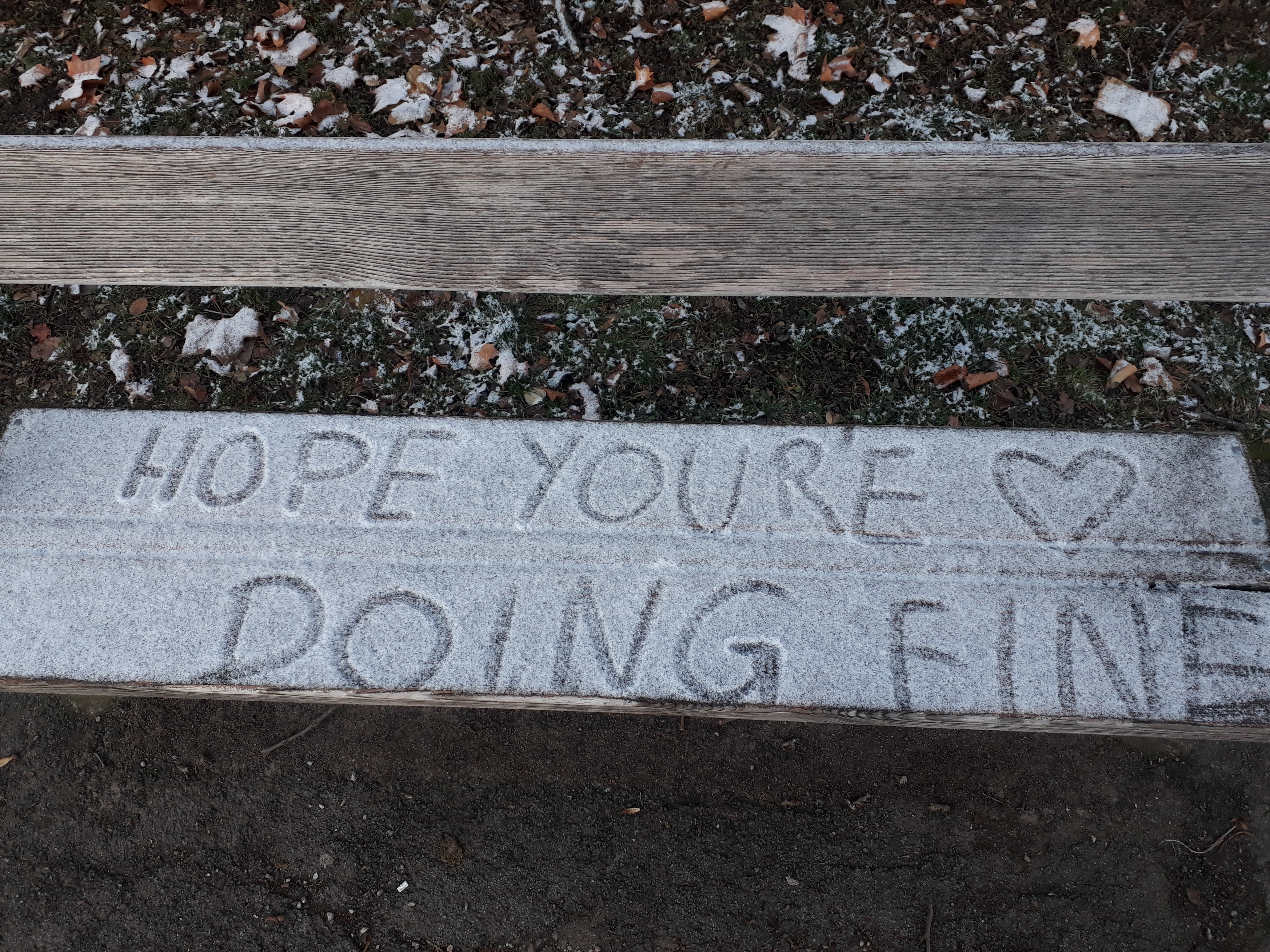
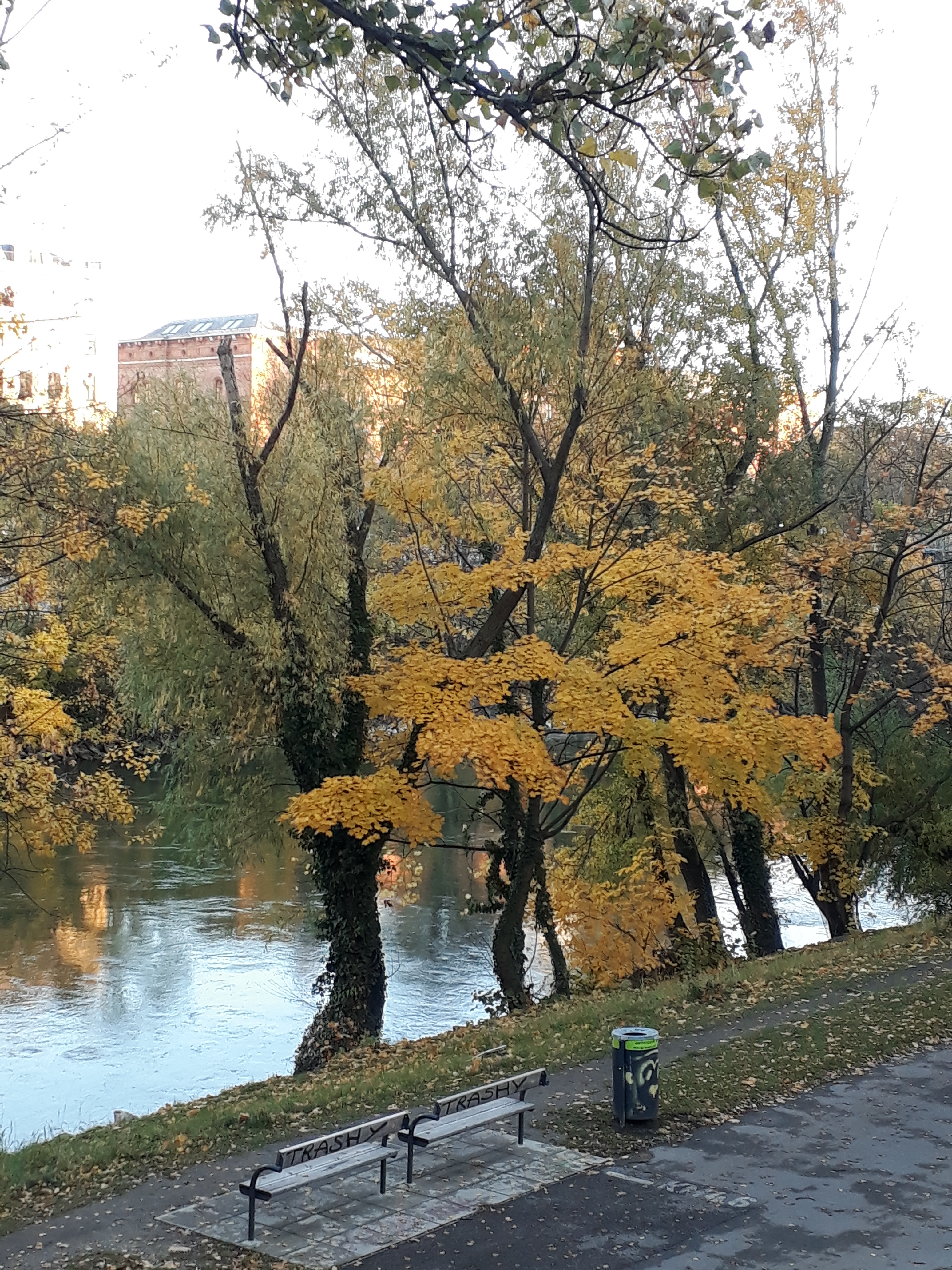
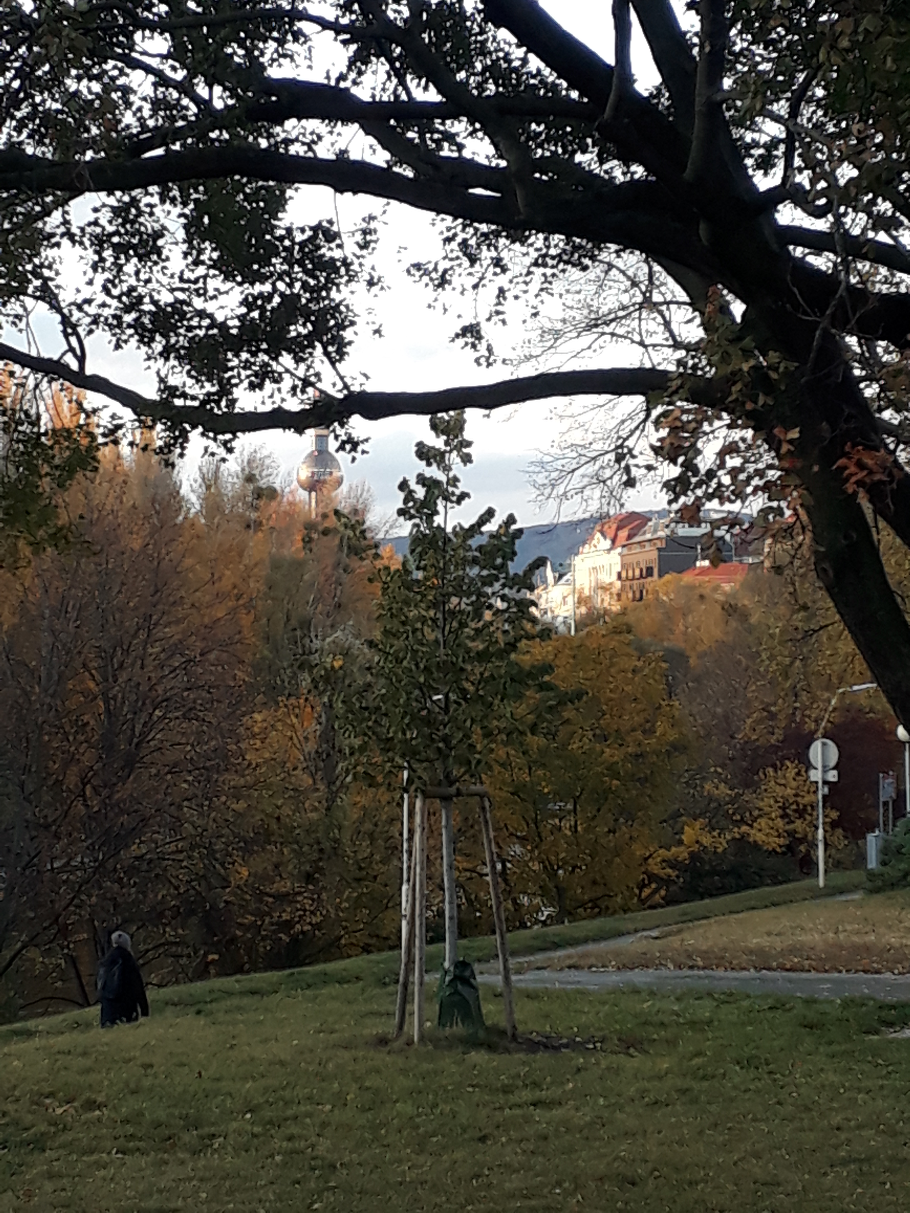
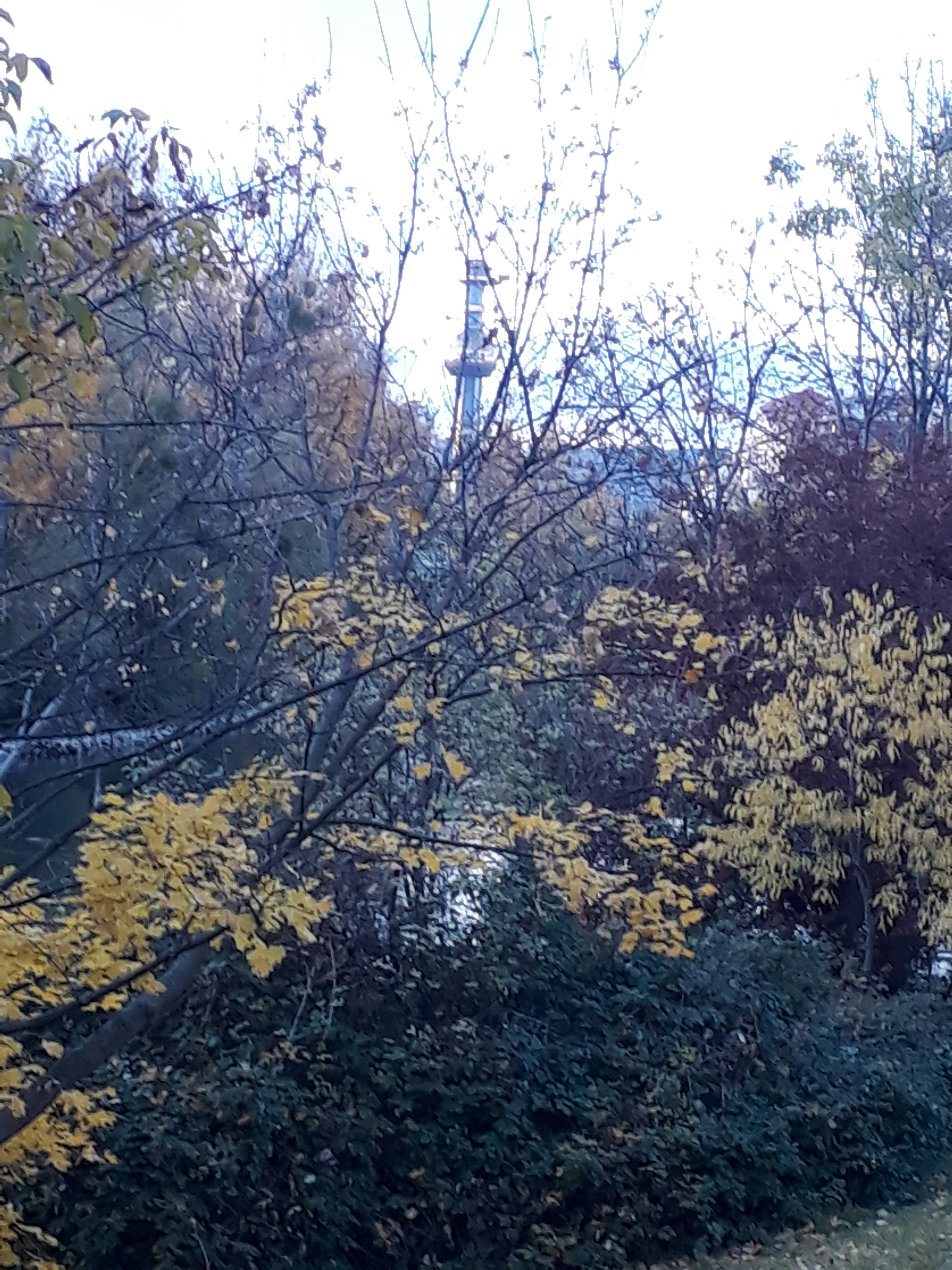
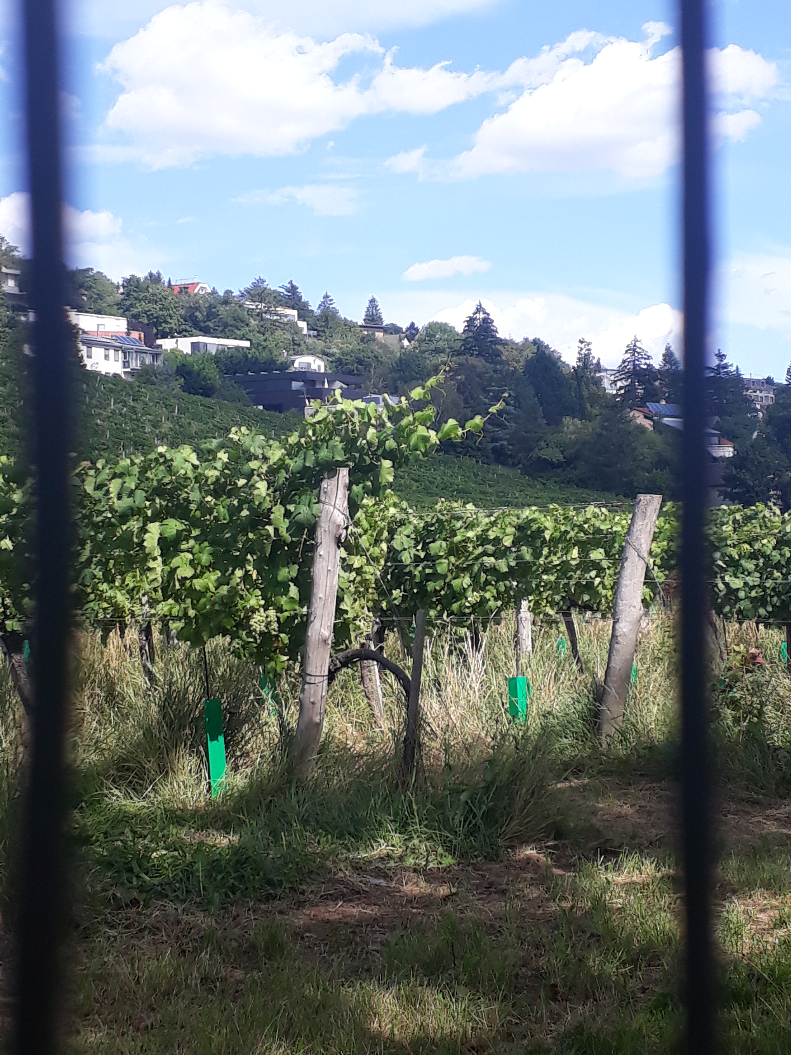
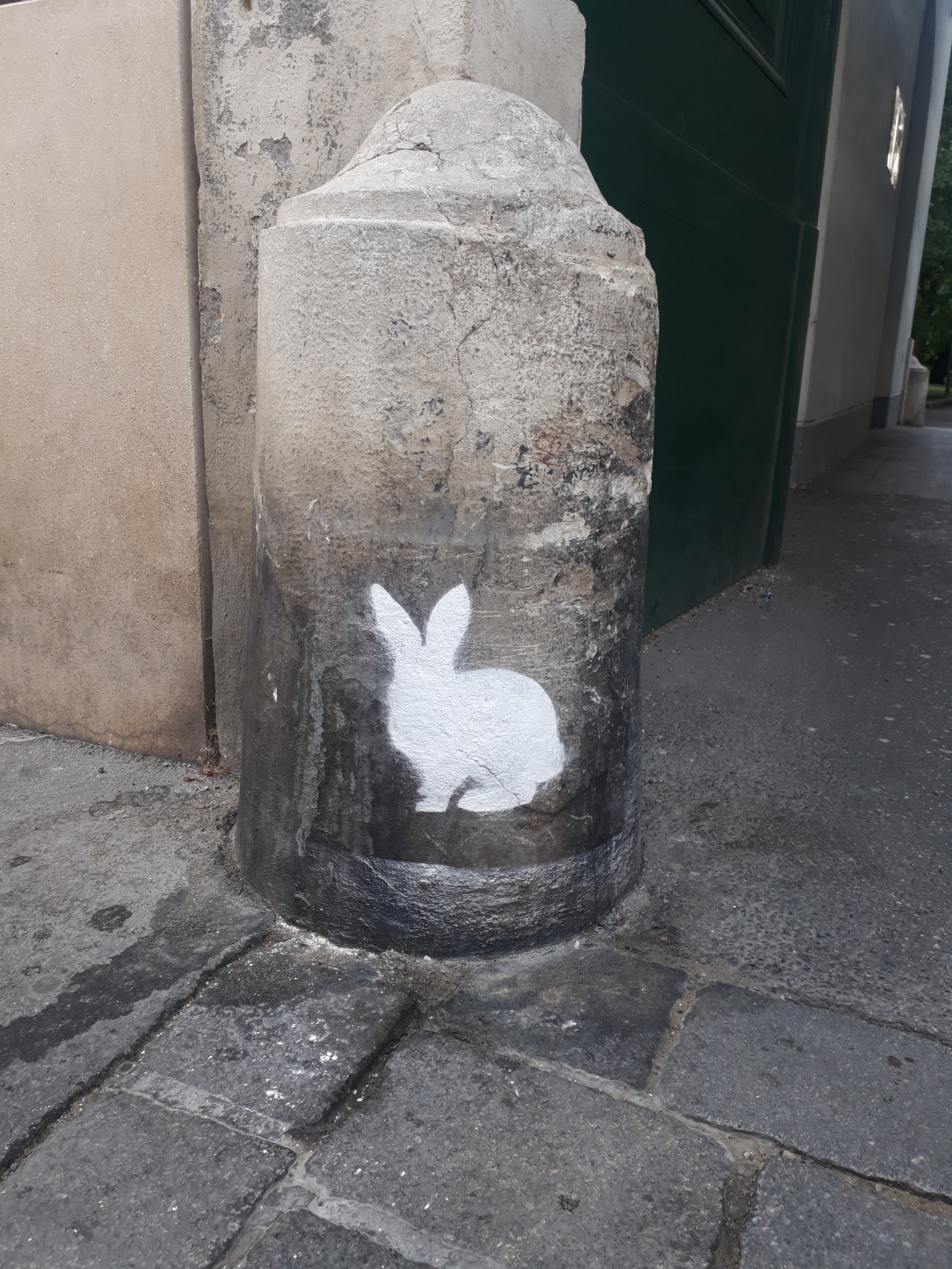
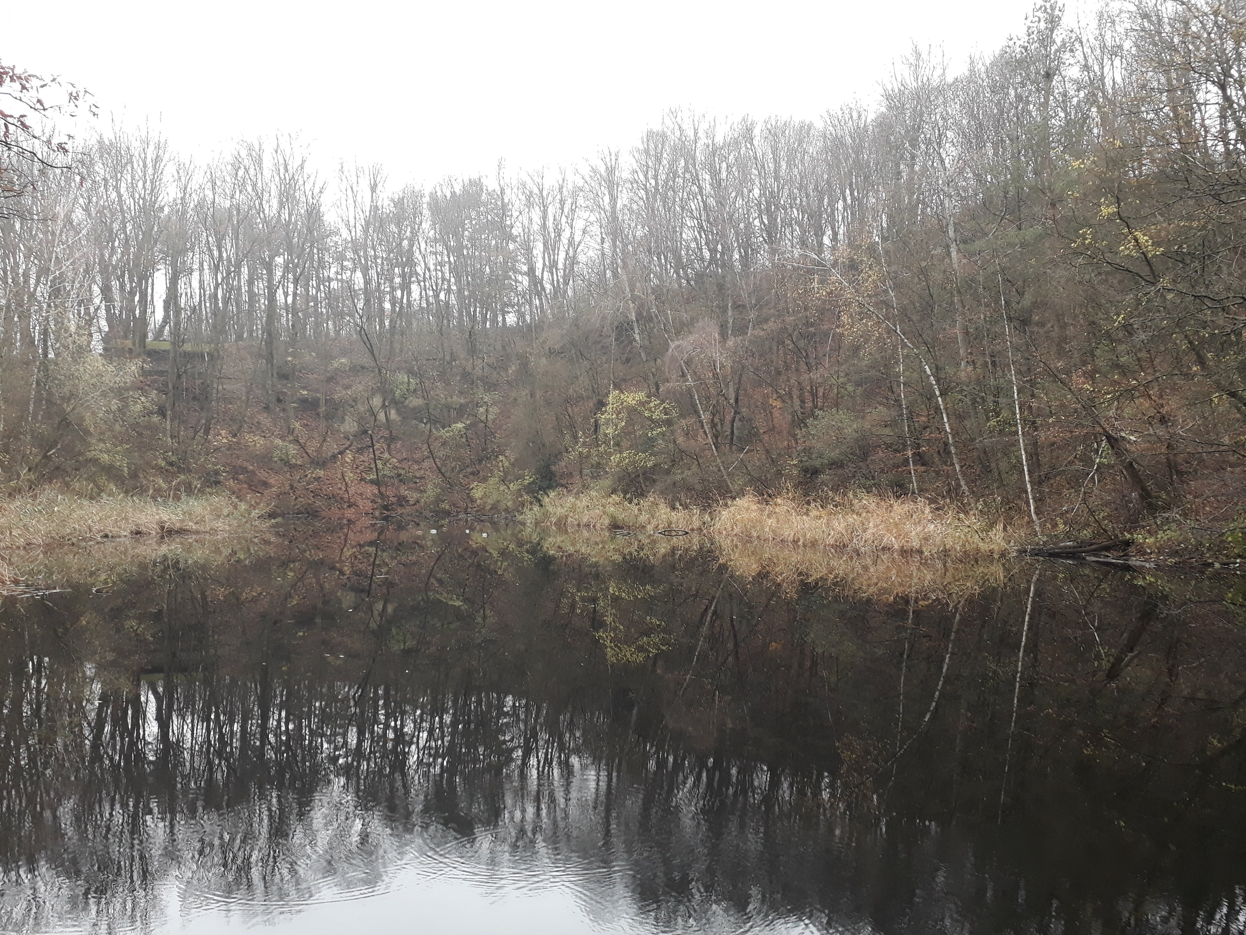
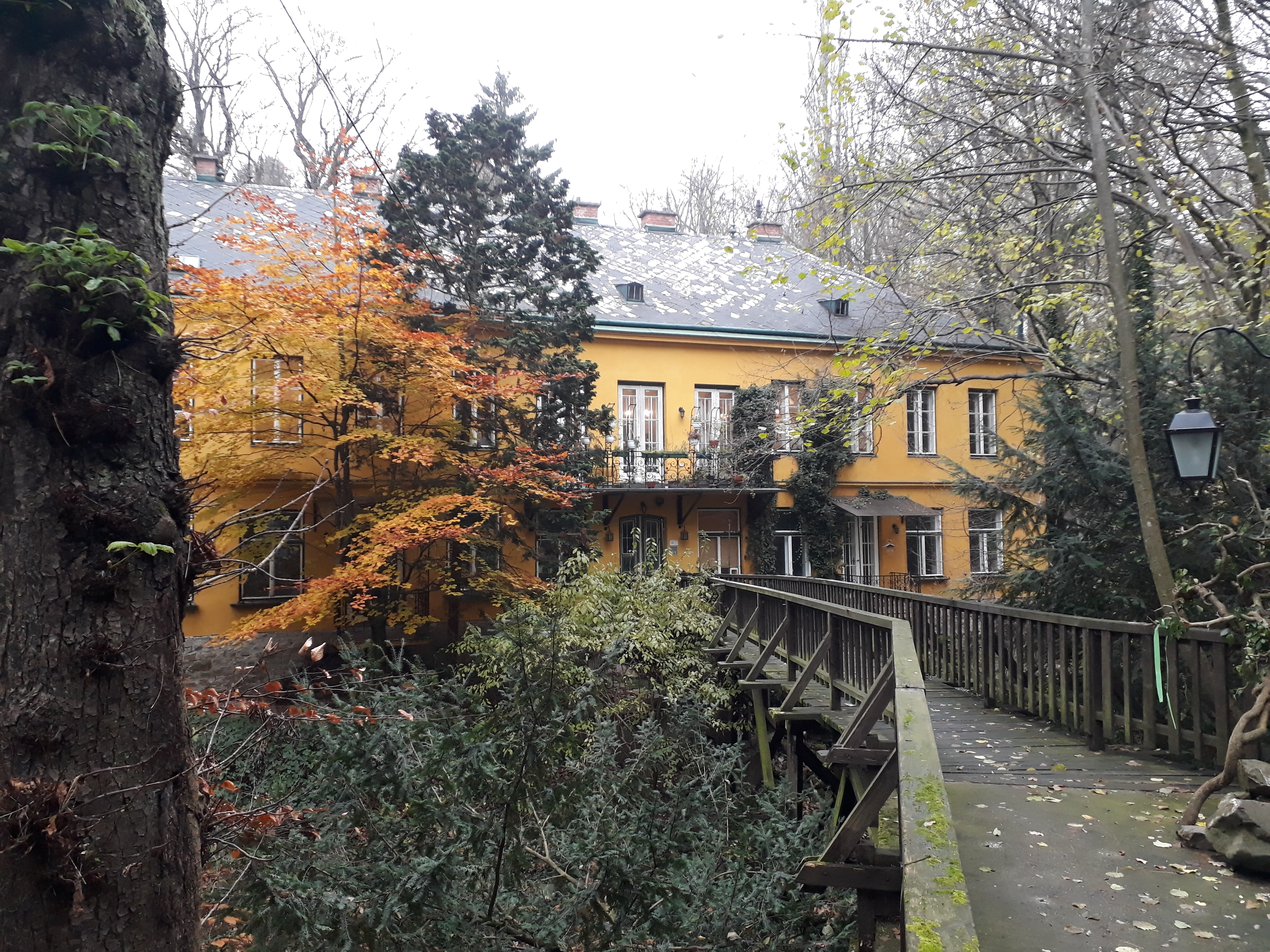
It was a beautiful walk (if somewhat strenuous in places—steep and slippery with snow) and in the beginning I saw very few people. Here is a montage to give you an impression:

As I walked, the memories came—like the first time I went in through the Nikolaitor and saw a huge wild boar within meters of the gate. I backed out and tried to pull the gate closed only to be hindered by the people on the other side trying to pull it open so that they could get out. I let them out and then took a second look. Was it really a boar I had seen? It was. However, it was a peaceful boar eating some hay that had been specially provided, and there were people, even families with children, watching him. I joined them.

That was not my only encounter with boar in the Lainzer Tiergarten. I once left the beaten track only to find myself unexpectedly at a feeding station. I was just getting ready to sneak away again when a boar came racing out of the woods towards me. Before I knew it, I was up a tree, lying on a branch, looking down at him. (Isn’t adrenalin a wonderful thing!) I looked down at him and he looked up at me rather perplexed, as if to ask “What are you doing up in the tree?” At some point, he realized I wasn’t there to feed him, got bored, and left again, and I climbed down and carried on.

On another occasion, I was walking with a cousin and heard the characteristic galloping of a boar, yelled “Boar!” and hid behind a tree. My cousin, not primed in the fauna of the Lainzer Tiergarten, stayed where he was and was unscathed as the boar galloped past us on a mission known only to him.

The one occasion when I actually was a little afraid was the time I was out taking a walk in the spring with a friend and her two relatively small daughters. We wanted to go to the Rohrhaus (a rustic restaurant in the middle of the Tiergarten and, by the way, the Stempelstelle) and had to go past two boar fighting each other in order to get there. That took some gearing up. We were fine, though. They seemed to be far too absorbed in what they were doing to give us a glance (thank goodness).

There comes a point on every walk when I’m on a new route when I start to wonder how much longer the trail is and whether I have missed a turning. This time it came after the Adolftor, when the path started to weave around a little. I was relieved to make it to the St. Veiter Tor and find an older gentleman there who knew not only the right direction but the names of the streets I would need to take. As we were chatting, I saw someone exit the Tiergarten by climbing over the wall and remembered that I, too, had climbed that wall, albeit at a different point. Many years ago I went with a friend, eager to show off this beautiful place, and didn’t realize that the gates are closed (or were closed) on Mondays. Having taken the U4 all the way out to HĂŒtteldorf and having set aside the afternoon for the hike through this former Imperial hunting ground, we decided to climb the wall and go for a walk anyway. We then quite brazenly exited through the main gate (the Lainzer Tor), playing the foreigner card.

Following the excellent directions the old gentleman had given me, I found myself in the right place near the right bus stop, with only about three minutes to wait for the bus (which only runs every 20 minutes so that was nice). On past visits, I have always changed from the bus to the tram—probably because I didn’t have the benefit in those days of Qando, the app for the public transportation system in Vienna. Now, Qando told me that the 56B bus would also take me to Hietzing to the U4 but that it would be quicker than the trams. I thought it would be interesting to see a different route.

The 56B bus goes over KĂŒniglberg, where I hadn’t been in years, and the trip woke more memories. I remembered a fascinating visit with students to the ORF (Austrian Broadcasting Corporation) production center out there as well as singing at the funeral of a mentor and friend at the Hietzing Cemetery. As we went past the zoo in Schönbrunn, I remembered that our panda twins, now aged two, were on their way to China today and felt a pang. Pandas are special no matter what, but for a panda mother to successfully raise twins, even with human help, is very special indeed, and now they are gone.

All in all, for a relatively short outing there was a lot going on!

Distance: ? (because I couldn’t take the recommended path, which would have been 7.6 km, I don’t know)

Time: About 1 hour 45 minutes

05 – Feuerwache Steinhof to HĂŒtteldorf

1 Dec

Actually, I did this stretch last Sunday with a friend (which explains, perhaps, why I didn’t take as many photos as usual–we were too busy talking) and am only just getting around to writing about it. It’s been a very busy week!

Whether it was the fact that we were talking or really that there were some signs missing, we lost the trail a couple of times. We even had some trouble finding the starting point! Ah, well. At least my friend wasn’t troubled by this. 😉

It was a somewhat quiet walk. As the weather gets colder and grayer, fewer people seem to be motivated to go out. As before, one of the aspects that surprised me was that I have walked in that area several times but discovered new corners this time. There are roads back there that look like country roads–paved, but only wide enough for one car at a time. And there are lucky people who there in modest, one-family houses! Vienna the way it was for many decades before property developers got greedy here, too.

I was also surprised by this small lake (Silbersee) in the 14th district, serene in the middle of the woods, a bit of a hike up from Dehnepark. I wonder if one can swim here in summer.

20181125_134511.jpg

We both were struck almost speechless by this gem below, which seems to be a culture center with concerts and other events. We were not alone in being struck with it. I had to wait my turn to get this photo!

20181125_140629.jpg

Not far from this, we were reunited with the Rundumadum trail and found our way on to HĂŒtteldorf. There we were quite taken aback to see hordes of police with what looked like riot gear standing along the road to the new Rapid football (soccer) stadium. I like watching soccer but perhaps not when it requires a full squad of police in full gear.

We made it into the station at HĂŒtteldorf and thankfully made our way home unscathed.

Distance: Officially only 3 km, but we put in quite a bit of extra, partly through starting at Schloss Wilhelminenberg rather than at the Feuerwache, and partly through getting lost.

Time: 1.5(?) hrs of walking

04 – Marswiese to Feuerwache am Steinhof

18 Nov

Today Maylo and I had company as we did the next stretch of the Rundumadum hiking trail. A good friend and hiking companion joined us and was a great help at seeing the Rundumadum signs. I have to confess that right towards the end we lost sight of them. We still ended up where we were supposed to, though. Since this is still a part of the Vienna Woods I know pretty well, I find myself wondering what will happen when we get to the parts I don’t know so well and can’t rely on my sense of direction, but that won’t be for several weeks yet.

The first thing both of us commented on was how much the woods have changed in the last week. It’s suddenly gotten much cooler and the leaves are now down.

IMG_0076

The next thing we both remarked on was how parts of the trail were completely new to us, even though we have been hiking that part of the Woods for a couple of decades. Endless variety.

And we were delighted to see this “toad tunnel” near Schottenhof, constructed by the City of Vienna to protect wildlife. 🙂

IMG_0077

We made it to the Feuerwache am Steinhof (fire watch and station) just in time to jump into the bus down the hill. We were very grateful for that, as the bus doesn’t run very often on that stretch.

Back to my place then for coffee, cake, and a chat.

Distance: 5 km (actually a little more because we walked from the 43 tram to Marswiese instead of taking the bus)

Time: About 2 hrs.

03 – HĂ€userl am Roan to Marswiese

11 Nov

It wasn’t clear if we were going to continue our hike around Vienna today, but after I took a look this morning at how much I have to do this coming week and the week after (way too much), I decided this was the best way to make the most of our Sunday.

This is a route we know well. We have walked it often in the other direction, where it is disguised as Stadtwanderweg 3 (City Hiking Path 3). Again, it was strange taking the bus up the Höhenstraße. It almost feels like cheating and, on top of that, I realized today how much I actually enjoy the exertion of walking uphill. Ah, well. Another time. 😉

Here is finally a photo of the HĂ€userl am Roan (our starting point today) and the view from their front garden:

(The photos are gray because the weather is gray today.)

The bus was quite full, but there appeared to be very few people out. I thought with some relief that perhaps the density has died down as last week was a holiday weekend. Nope.

Empty as the Höhenstraße looks …

… there were plenty of people out and about.

First of all, we were almost run over by a large group of runners coming at us along the trail. Then there was the ongoing threat of the mountain bikers and Nordic walkers. And on the stretch from Hameau to Marswiese we encountered a group of at least 70 people all hiking together. That’s a big group!

07_on the way from hÀuserl am roan to hameau

Finally, we made it to Schwarzenbergallee, where at least one expects to dodge people constantly. And from there we made our way home. All in all, it was shorter and quicker than I expected.

Distance: 4.8 km

Time (without a break): 1 hr 15 mins

02 – Cobenzl to HĂ€userl am Roan

4 Nov

Knowing that I’ll have to put my hiking on hold for a while as I am teaching all day the next three Saturdays, I decided to try at least to wrap up the first two stretches. This found Maylo and me once again on a bus on the Höhenstraße. It is a strange feeling to be whisked (and some of those bus drivers do take it at a clip in spite of the bone-shaking cobblestone surface) up a hill we usually huff and puff our way up. The bus does in 20 minutes what we usually take two to three hours for!

Anyway, up we went again to Cobenzl to resume our walk to JĂ€gerwiese and beyond. I had not expected so much fog. (On the left is a photo from yesterday and on the right is a photo taken today very near the same spot.)

Furthermore, having noticed the fog on the way up on the bus, I would not have expected to see a lot of people, and yet there they were. Old, young, Austrian, Viennese, Polish, Hungarian, thin, sturdy, with children, without children, dressed for serious hiking, dressed to look good, with dogs, and without dogs. There were so many people that the restaurant at JĂ€gerwiese was completely overcrowded and the wait staff rushed off their feet. Maylo and I joined a few hardy souls (the fog made it pretty chilly) on the terrace, but finally gave up any hope of getting coffee and Apfelstrudel, stamped our pass, and carried on. At least we found out what a Stempelstelle looks like. The red box contains an ink pad and the necessary rubber stamps.

05_stempelstelle

Off we went again, heading towards Dreimarkstein and HĂ€userl am Roan, into the ever denser growing fog. I did start to wonder if it was wise, but I have to say we were not alone. Help would have been available if we had needed it.

07_jÀgerwiese to dreimarkstein

We reached HĂ€userl am Roan with just a few minutes to spare before the bus got there. As it only runs once an hour on Sundays, it seemed like a good idea to catch it and come back to HĂ€userl am Roan another time.

An aside, HĂ€userl am Roan is one of the rustic restaurants offering Wiener Hausmannskost (more or less, Viennese home cooking) that dot the Vienna Woods. It has a special place in my heart because it was one of the first I discovered, many years ago. If I remember correctly, it was as I was hiking my first Stadtwanderweg (city hiking trail), Stadtwanderweg number 3, so there were two big discoveries in one afternoon.

So there it is. I spent my long weekend (Friday counted as a Fenstertag or “window day,” the day between a holiday, All Saints, in this case, and a weekend) hiking with Maylo, taking photos, blogging about it, eating, and seeing friends. That’s a pretty good weekend in my book! Oh, and here is my Wanderpass with its first stamp. 🙂

08_wanderpass

Distance: 4.9 km

Time: unknown

01 – Nussdorf to Cobenzl (part two)

4 Nov

Feeling the pressure of an unfinished route, we took the 38A back to Sulzwiese on Saturday with the best intentions. Since we were only going to do the last two to three kilometers of the first stretch, I planned to carry on from Cobenzl and do the approximately five kilometers of the next stretch (Cobenzl to HĂ€userl am Roan). We all know, however, where good intentions lead. By the time we had made it prematurely to JĂ€gerwiese (having missed another of the little signs) and retraced our steps part of the way to get to Cobenzl, I again felt we had done enough. It was too discouraging to turn around and go back to JĂ€gerwiese (a Stempelstelle, more about that below) on the same day.

We saw some beautiful views, but it did seem like a lot of traveling for not much walking!

49_going from sulzwiese to cobenzl

About Stempelstellen: The City of Vienna wishes to encourage people to use the hiking paths in the Vienna Woods (and are wildly successful in their attempts if the number of people we see each time we go out is anything to go by). Part of the tradition is to offer a Wandernadel (a “hiking pin” in silver or gold depending on the level of achievement), and the way you get your pin is to stamp your Wanderpass as you make it to various Stempelstellen and send in your pass when you have filled it in. More about that in the next post, in which we go back to the JĂ€gerwiese and get our first stamp.

Distance: 2.6 km (est.)

Time: unknown

01 – Nussdorf to Cobenzl (part one)

4 Nov

Technically this is the first stretch of the Rundumadum hiking trail, even if it was the second for us. And–confession is good for the soul–I have to say that we did this one in two parts: Nussdorf – Sulzwiese on Thursday (All Saints, a holiday in Austria) and then Sulzwiese – Cobenzl on Saturday. Why? I think I got tired of stumbling around in a part of the Vienna Woods I actually know quite well looking for the little trail markers (see below) and bailed out, catching the 38A back to Grinzing.

53_rundumadum sign

We started at Nussdorf, as prescribed and walked along the Donaupromenade, a beautiful path along the Danube I had never been on before. What I was missing!

We went along to Kahlenbergerdorf. I have been there before but mainly know it from looking down from a path I’m fond of through the vineyards on Nussberg. This is what it looks like from sea level, so to speak. And, yes, despite its rusticality it is part of Vienna (19th district).

Then began the walk up Leopoldsberg along the “Nasenweg” (“Nose path”?). I have walked down the Nasenweg before but never up, and I don’t expect to do it again. It is hard work! Thank goodness the views are beautiful, with the vineyards (see above) on one side and the Danube on the other. (I intentionally didn’t write “on the right” and “on the left” as that alternates as the path snakes its way up the hill.)

At the top, there is a small castle with great photo ops and, in this case, someone I know and hadn’t seen in many years, who greeted me with “What are you doing in Vienna?” “Um, I (still) live here.” Wien ist, as we say, ein Dorf or Vienna, in spite of its 2 million inhabitants, is a village, and you really can’t go anywhere without running into someone you know.

Maylo and I then carried on our way to the next landmark (JosefinenhĂŒtte), and she went her’s. At the JosefinenhĂŒtte I think we lost our way a little. We ended up where we were supposed to–Sulzwiese–but I’m pretty sure we didn’t take the intended path. (Missed those little trail markers again!) Nonetheless, I make no apologies because I have walked down the Höhenstraße from Kahlenberg to Sulzwiese, and it is a lot easier and maybe shorter than what we did on Thursday. Although the path we took wins for beauty, I think.

37_going from kahlenberg to sulzwiese.JPG

That’s Maylo on the left, by the way, my wonderful hiking companion.

We wandered through these gorgeous woods, taking in the scent of late fall and reveling in the sounds of our feet in the leaves, until we got, as mentioned, to Sulzwiese and I decided we had done enough.

Off to the nearby 38A bus stop and back to town!

Distance: 5 km (est.)

Time: unknown

24 – Strebersdorf to Nussdorf

3 Nov

This is actually the 24th and last stretch of the Rundumadum hiking trail around Vienna, but it is where we started a little over two weeks ago. The weather was beautiful, although really too hot for the time of year, and I got sun and wind burn!

This stretch is 6.8 kilometers (which is longer than it sounds!) and starts in Vienna’s 21st district with a walk along this little river or canal in the direction of the Danube. It was special to see the red foliage as fall in Vienna is dominated by spectacular golds and yellows–beautiful in its own way but a bit strange for a New Englander. And it was quite something for me to re-visit this part of Vienna, where I used to come quite often to run courses at companies like Alcatel and Siemens that no longer have offices there.

20181014_124052.jpg

As we got closer to the Danube there was some uncertainty how we should carry on. (Maps of the Vienna hiking trails are not always easy to follow and can lead to some adventures.) We spent some time rather nervously walking parallel to the Autobahn until we came to a bridge that let us cross that and walk along the (New) Danube instead. Ah, much better!

Then we walked along wondering if we had somehow missed the Jedleseer Bridge that would get us across to the Danube Island. Luckily we hadn’t. We found it and managed to cross, with some resistance from Maylo (it was really windy and a bit scary for a little dog). We transversed the Island, enjoying a bit of Vienna we had never been to before, and continued south to cross the Danube itself on the North Bridge–another adventure for Maylo–and wove our way around the flyovers and bike paths and canals on rather complicated and confusing footpaths to finally near our destination, passing on our way the Vienna Model Basin Ltd. (how they get that name from “SCHIFFBAUTECHNISCHE VERSUCHSANSTALT IN WIEN GMBH” somewhat mystifies me, but never mind), a lock, and various other rather industrial but, as is often the case in Vienna, also rather elegant constructions. There are some photos here for those who wish to take a look, along with an explanation in German.

Finally, we managed to cross the canal and come out on the other side in Nussdorf as we were meant to do. Success! And this inspired us (I hope Maylo agrees, I’m kind of assuming he does) to carry on and try to walk the whole way around Vienna on this trail.

Distance: 6.8 km

Time: unknown